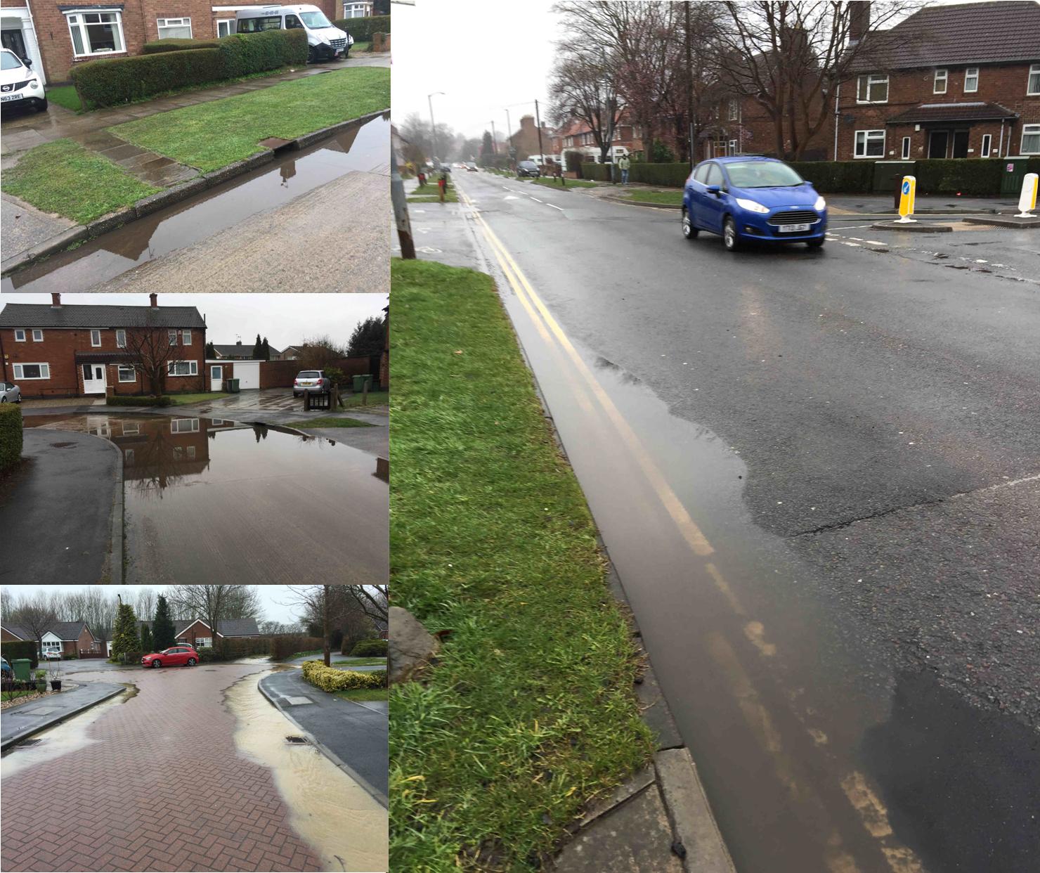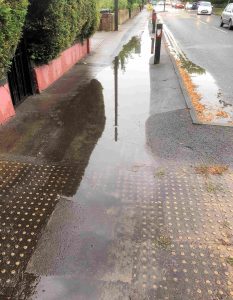
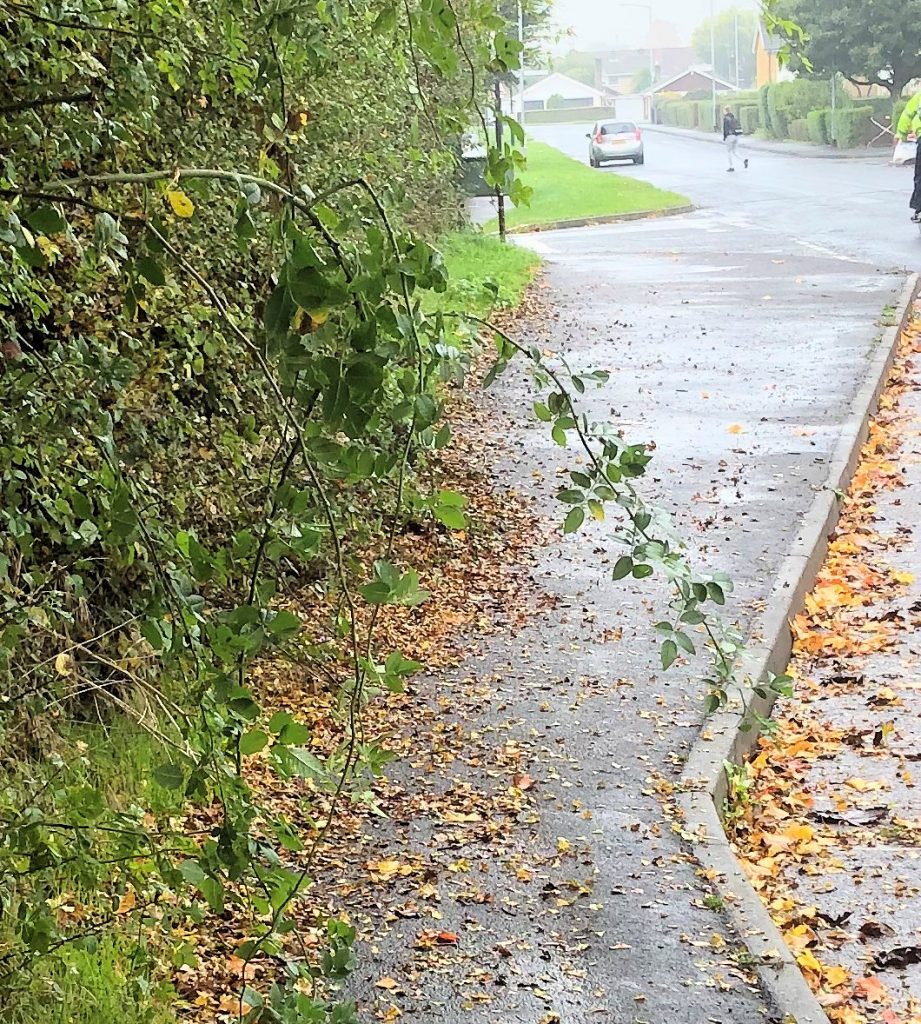
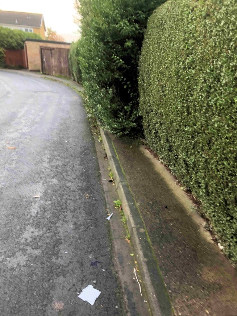
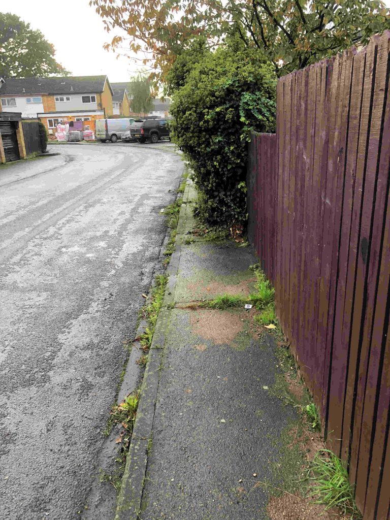
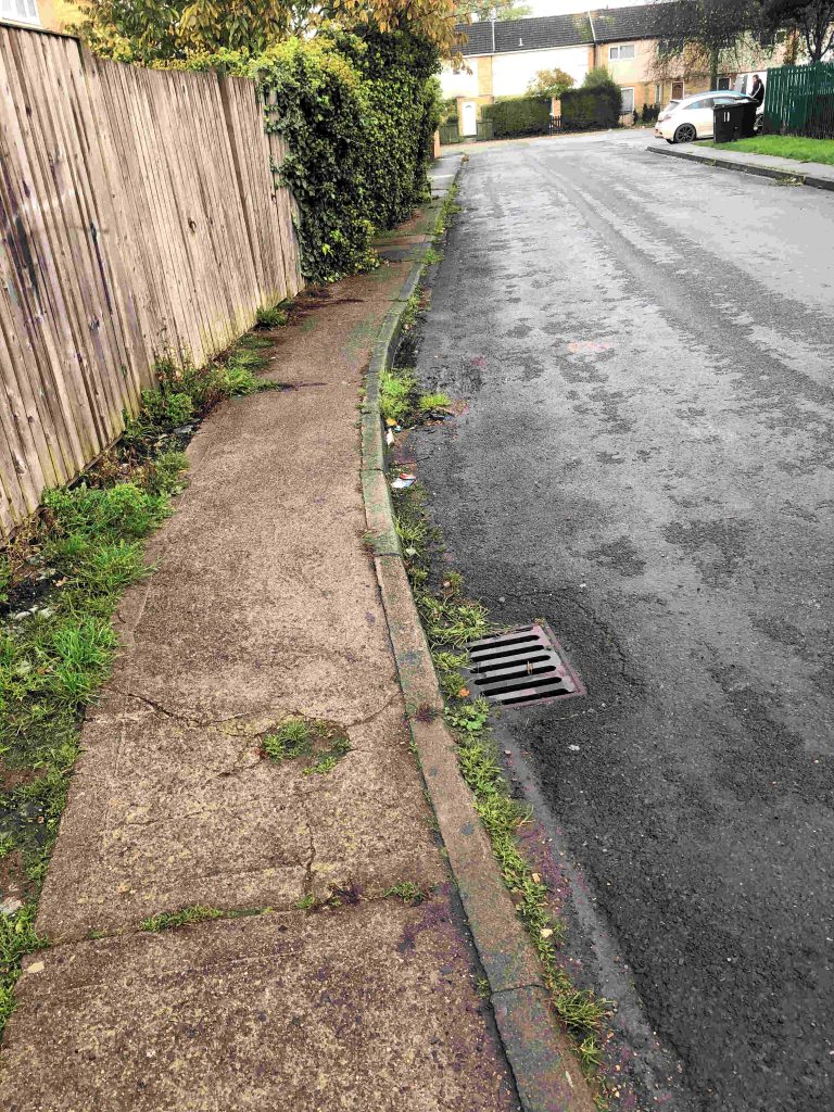
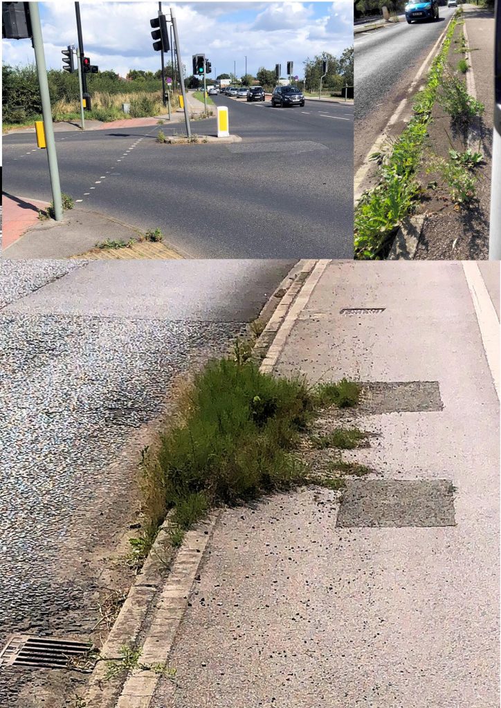
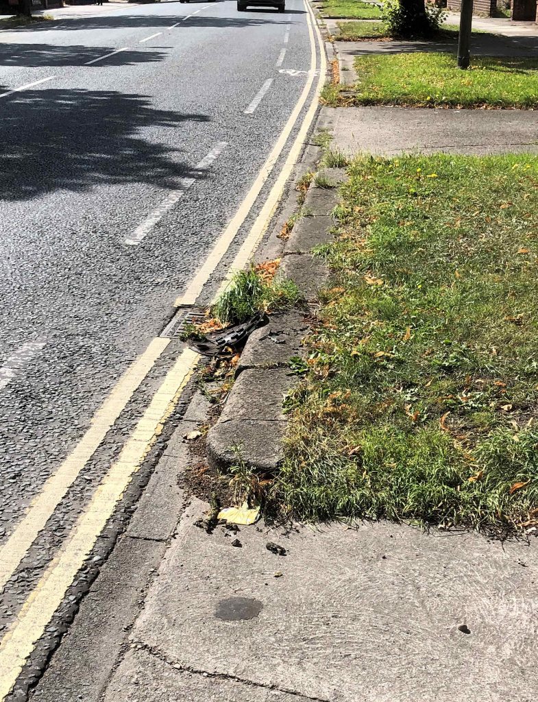
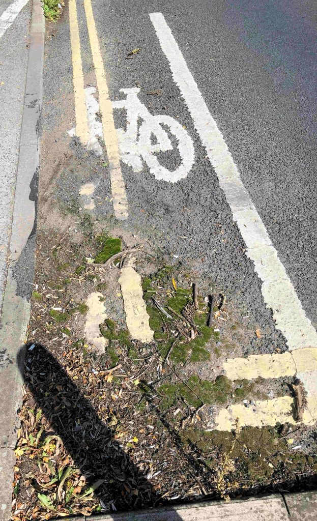
Gale Lane blocked footway gully
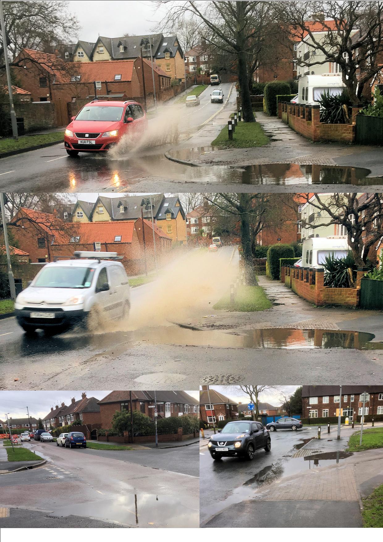
The recent surface water flooding which we saw a few weeks ago is being addressed by the Council. In a report to be considered next week, they say that their Flood Risk Management Team is currently investigating the consequences of the 13th August 2018 storm which affected the city. More than 40mm of rain fell on the city in just over 15 minutes, Rainfall rates more than 120mm/hour were recorded.
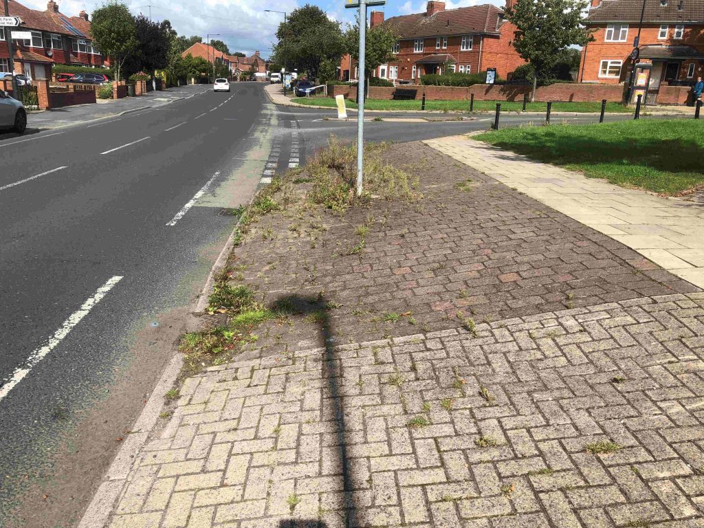
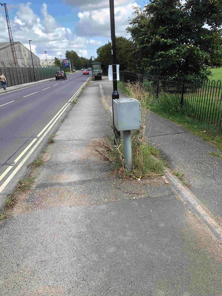
The problems seemed to be exacerbated by blocked gullies. This was a problem on some roads where footpath gullies were obstructed.
A policy adopted by the then Labour controlled Council 5 years ago meant that gullies were cleaned only upon report. Due to this reactive cleanse policy in recent years, approximately 53% of drains have been found to be blocked upon attendance.
The Council says the revised gulley cleansing policy aims to proactively cleanse all gullies on the gritting network annually and all other assets are reactively cleansed following reports of issues. “There are more than 43,000 gullies in the CYC area and approximately half of these are on the gritting network”.
The Council has allocated funding, in the period up to 2020, which will allow the whole network to be surveyed, the development of an improved asset register and an effective proactive cleanse of each asset to be carried out. Over the whole programme, which started in 2015, the added investment will have ensured that in the region of 23,000 gullies were left in a free running state that were previously not draining effectively.
Additional gullies cleansed, and data recorded
| 2015/16 |
8,000 |
| 2016/17 |
15,074 |
| 2017/18 |
12,810 |
| 2018/19 |
2,468 (to date) |
However, more than 900 ‘non-runner’ assets have been identified where the gulley cleansing process could not ensure free drainage and significant engineering works (digging out) are required to improve them. None of the current defects were found to be in a location where property flooding could occur as a direct consequence of severe rainfall.
 Separately the meeting will consider an update report from the Environment Agency on tacking river flooding issues across the City. The Agency is doing well in keeping residents briefed on the work that they are doing. They have now started a web site which builds on their communications plan tick here This complements the information “hub” that they established on Wellington Row.
Generally, the update says that work to improve flood defences is proceeding in line with the agreed timetable


 Separately the meeting will consider an