“WalkYork” represents York pedestrians

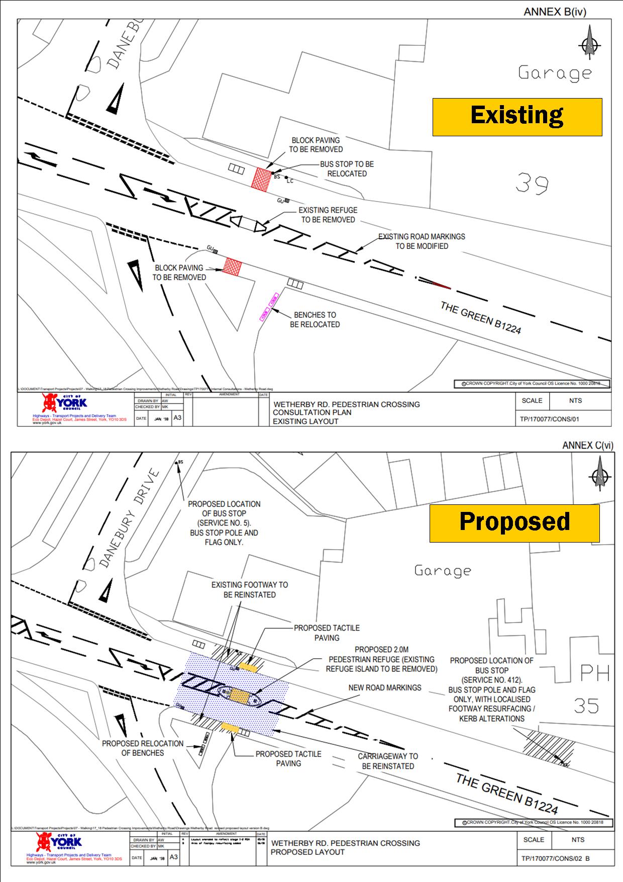
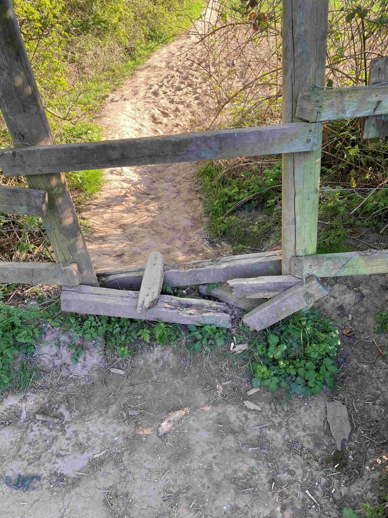
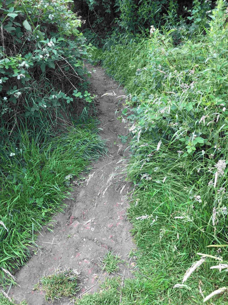
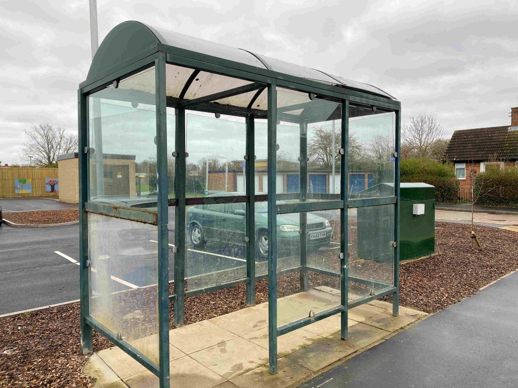
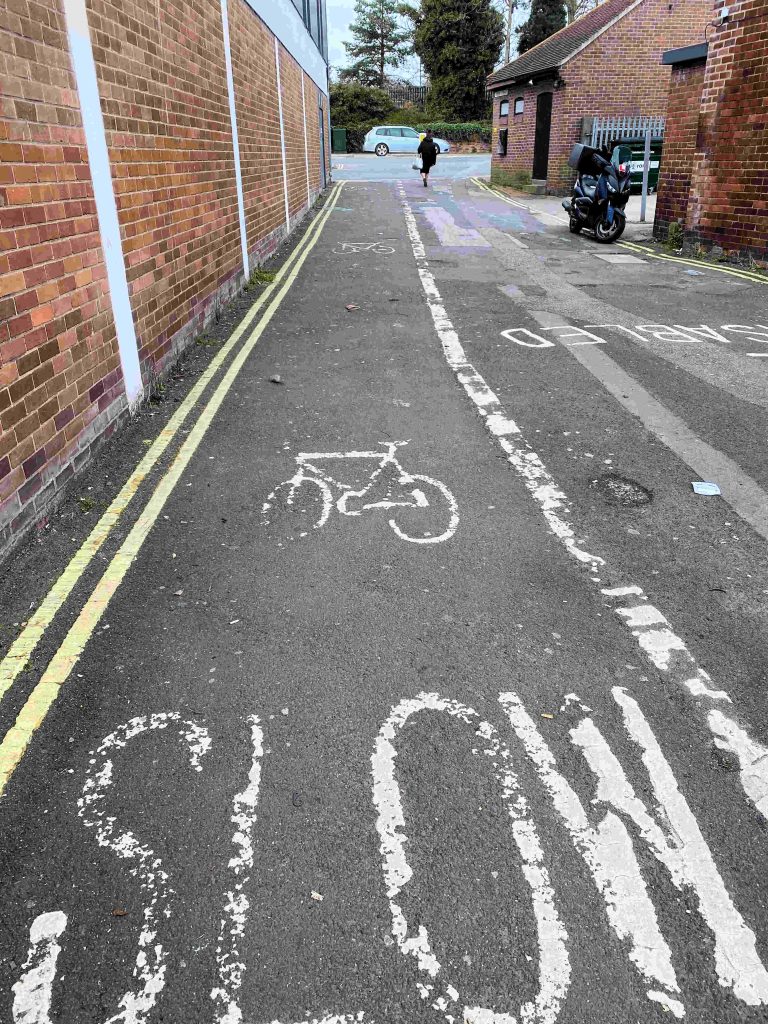
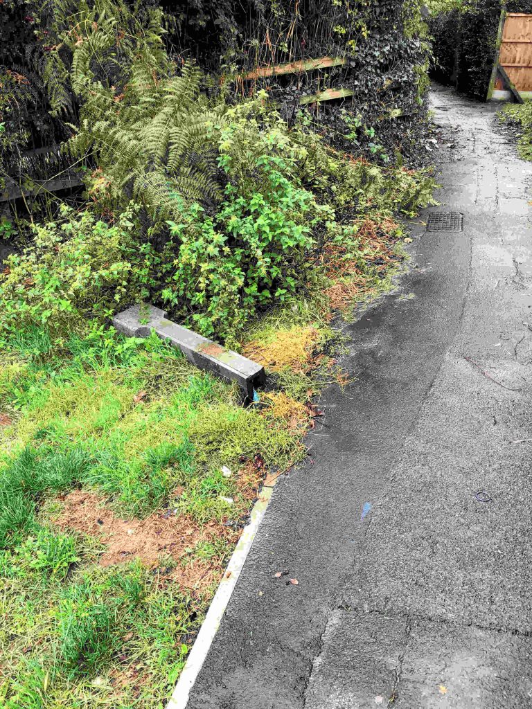
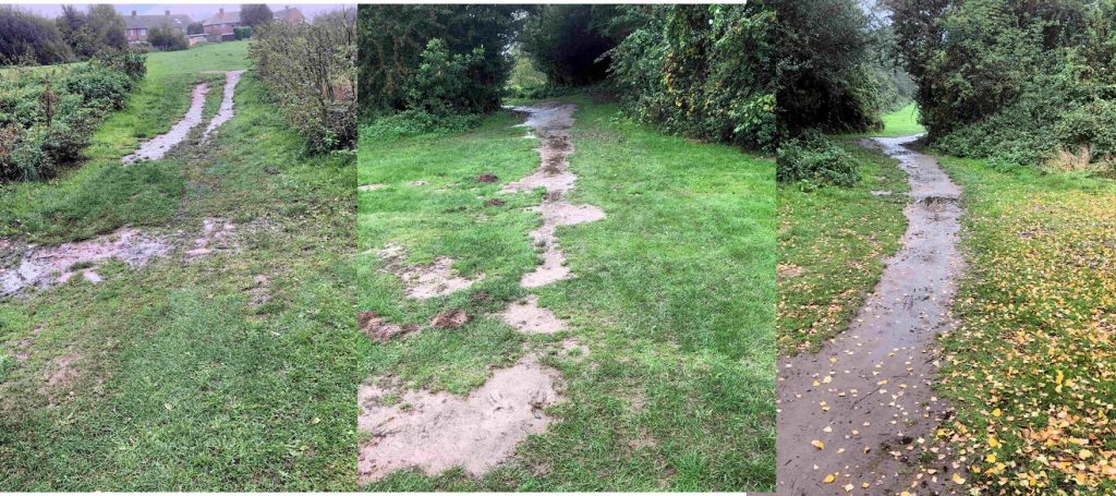
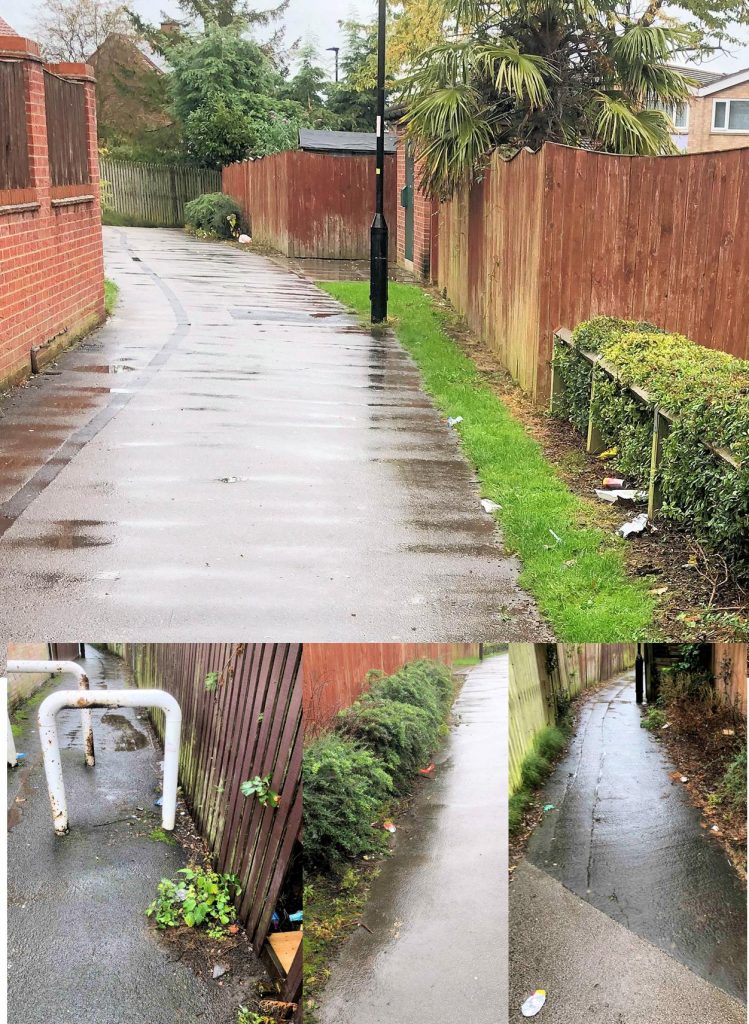
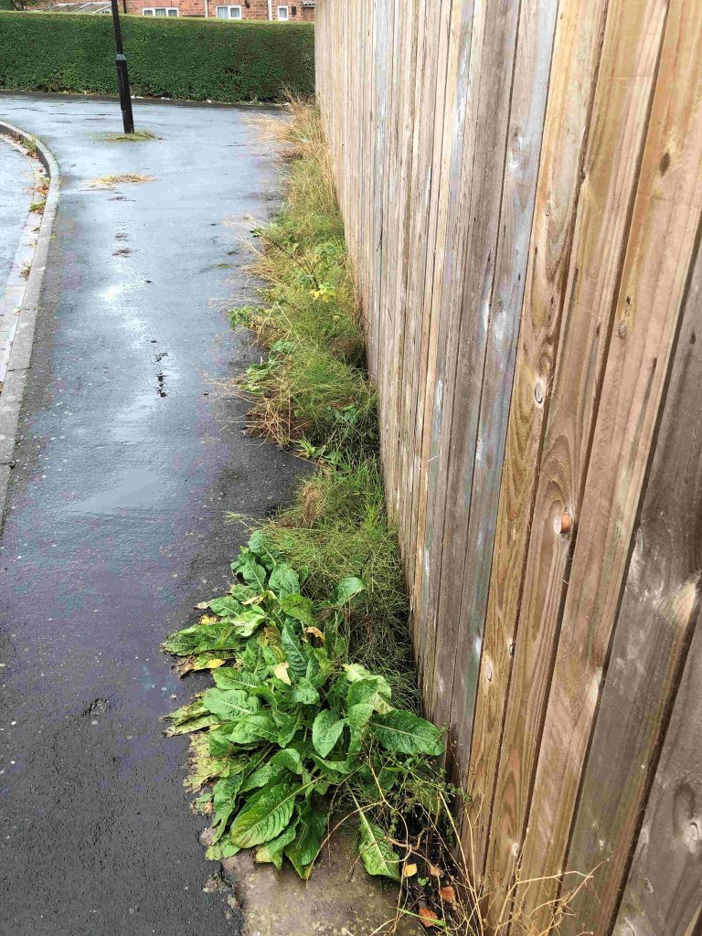
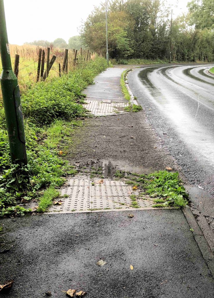
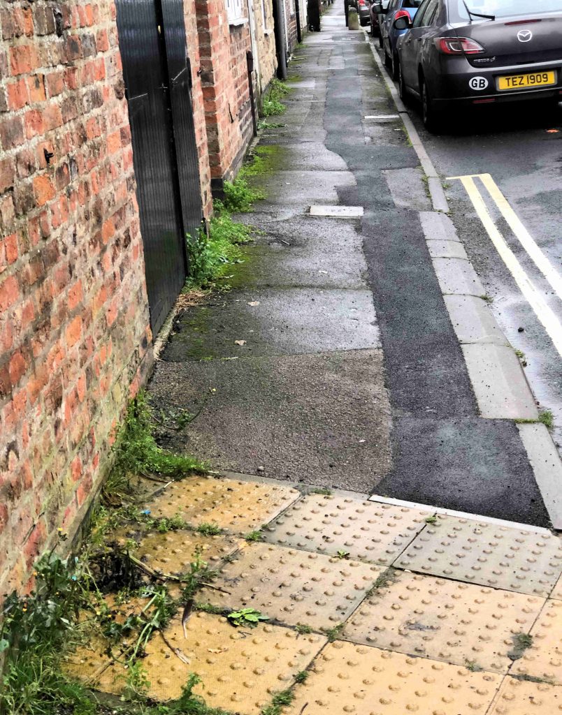
The York Civic Trust is promoting a new group which aims to articulate the needs and aspirations of users of York’s biggest transport system.
Walking!
We wish them well.
We have recorded on many occasions that green footpaths, particularly in sub-urban areas, have been neglected over recent years.
Many have been heavily used for exercise during the lockdown period, Some now badly need repairs to infrastructure like stiles while work to remedy boggy and flooded sections is also needed.
Even well used bitmaced paths like The Mount are overdue for resurfacing
The Trust says in an email to its members,
Formed last year, WalkYork is a project that has been developed by Dr Roger Pierce, an active member of the Trust’s Transport Advisory Group, who identified a real need for a devoted online presence to promote and represent walkers in York.
Free to join, becoming a WalkYork member provides access to news of city-wide schemes and proposed changes impacting pedestrians who have not previously been consulted about major changes impacting them.
Bringing together views, the group can give a voice to individual concerns and suggestions, helping to negotiate improvements and influence Council decisions. 
The larger the membership the more influential they can be!”
Damaged stile on popular exercise route in York

You can find out more about WalkYork, and how to join, on their website.

£44 million to be spent on transport in York this year

Large budget but little being invested in west York

The Council has revealed its transport investment budget for the new financial year.

£44.2 million has been allocated to a range of improvements although the vast majority of the budget has been earmarked for dualling the outer ring road (£21.3 million) and improvements to the railway station frontage (£13.5 million). Neither of the schemes will be completed during the year as extensive preparatory works are required.

£1.2 million will be spent on the ongoing programme of modernising traffic signals (this will include replacing the Front Street pelican crossing along with lights at 8 other locations across the City).

Residents of the west of the City will be disappointed to see that their neighbourhood has been snubbed when allocations from the pedestrian and cycling budget have been made. Not for the first-time investment, is being focused on the central and eastern parts of the City.

A welcome, but very modest, allocation has been made for bus shelter replacement (£100k). Many of the council owned shelters are looking very tatty now with a belated repainting programme proving to be “too little, too late” and failing to bring about a lasting improvement.  

Similarly, a £50,000 allocation for Public Rights of Way (PROW) structural repairs is long overdue.  Sadly, the budget will barely make a dent in the backlog of work need to stiles, signage, and repairs to flooded sections of path.

All in all then, a mixed picture.

Hopefully the highway maintenance allocations – which have still not been publicised – will be targeted at repairing the worst roads and paths many of which are located in west York.

Have your say on improvement plans at Bootham Bar

Bootham bar photographed with the junction and traffic lights at red. Two people walk across the pedestrian junction.
Bootham Bar junction

City of York Council wants to hear what residents and businesses think of a new scheme improve pedestrian access at one of the busiest junctions in the city centre.

Works will take place later this year on the Gillygate, Bootham and St Leonard’s junction, which is all part of the Traffic Signal Asset Renewal (TSAR) Project. 

The TSAR project involves installing new signalling equipment and ducting, but also provides an opportunity to consider different options that could enhance the whole area for pedestrians and cyclists.

Two possible designs have been prepared, both would replace all the signals and increase the width of space for pedestrians waiting to cross Gillygate.

Option ‘A’ is the simplest design with little change to the existing layout while option ‘B’ would provide more pedestrian space and improve the historic setting of the area.

It would also allow for an ‘all green’ pedestrian phase across all arms of the junction, with no need to wait half way across when crossing from the Art Gallery to Bootham Bar and a less traffic dominated area.

However, the removal of the left turn lane from St Leonard’s Place to Bootham, and the changed signal phasing, would increase traffic delays and queues at peak times, with potential impact on air quality in Gillygate and Bootham.

Tell us what you think

Views are being sought on which design residents and businesses prefer and why, between Monday 1 March until Wednesday 31 March, and can be submitted, by:

  • Completing the short online survey 
  • Emailing views to: TSAR@york.gov.uk
  • Writing to: TSAR Programme, Transport Systems, Corporate Directorate of Economy and Place, West Offices, York, YO1 6GA.

In addition to the above, over 650 properties in the immediate vicinity of the junction will be sent details of the consultation and offered assistance if they cannot view the design options online.

Action needed, Action taken

Mixed outlook on several outstanding public service issues in west York

We’ve reported a broken utility sign at the top of Grange Lane
Exposed cables have been tied to street signs in Milner Street for several weeks now.
Graffiti and litter continue to blight the Grange Lane snickets
We’ve suggested that hard core be used to make footpaths in the Grange Lane Westfield Park usable in wet weather
New record holder for the largest weed award. This 3 metre monster in Dijon Avenue next to a telegraph pole.
Loose rubbish continues to blight the rear of Front Street
Overgrown snicket on Gale Lane becoming a crime concern. We”ve asked the Ward Councillors to act.
Reported yet again litter, detritus and weeds on the Tithe Close snicket. Issue recorded by the Council as “solved” Clearly not!
Weeds flourishing on Hotham Avenue
….and Foxwood Lane
….and School Street

….But weeds cleared from Dijon Avenue garage area by Council. Now looks very tidy.

Wetherby Road/The Green, Acomb – pedestrian changes confirmed as part of larger programme

A slightly revised layout at The Green/Wetherby Road junction is proposed in a Council report published this week

City of York council is set to invest £50k to improve or install new pedestrian crossings on several streets in York. These include

  • a potential new zebra crossing on Heworth Green
  • improvements to a central refuge on Wetherby Road near Danebury Drive
  • pavement build-outs on Huntington Road near Lowther Street
  • slight alterations to the crossing and link path on University Road opposite Heslington Hall
  • improvements to the crossings on New Lane in Huntington either side of the Jockey Lane mini-roundabout
  • provision of a new section of footway on Main Street in Copmanthorpe.

Several other sites will be improved using the city’s dropped kerb programme.

To view a full list of where all the proposed improvements will be made click here,

Officials have ranked the schemes in priority order according to the benefit achieved with Huntington Road at the top, followed by Wetherby Road, University Road, Heworth Green, New Lane and Main Street, Copmanthorpe. If approved, it’s recommended that the schemes are implemented in this sequence.

The Decision Session takes place on 12 July at West Offices from 2pm and is open to members of the public or is available to watch later online from: www.york.gov.uk/webcasts

New pedestrian and cycle bridge connecting station to city centre given the green light

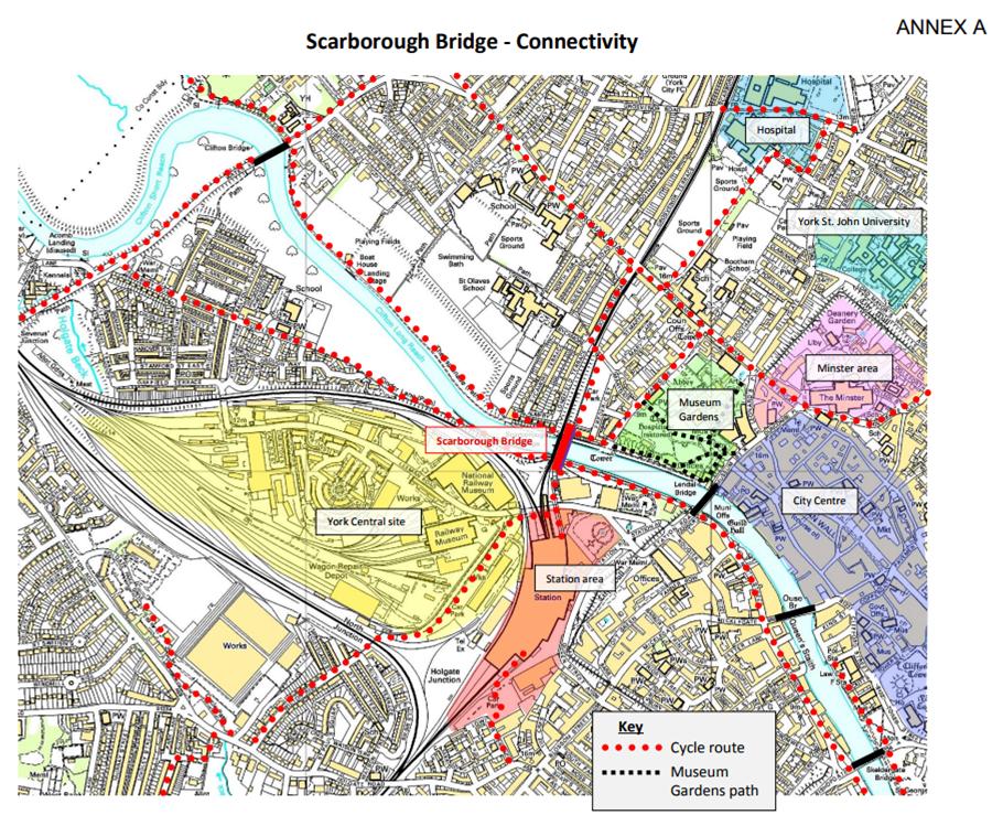
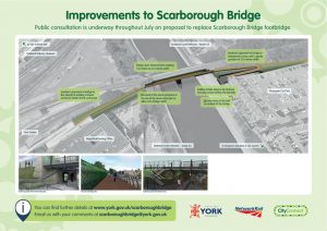
The design for a wider shared-use pedestrian and cycle bridge at Scarborough Bridge was unanimously endorsed by the council’s Planning Sub-Committee yesterday.

The new bridge will be nearly three times as wide, while the ramps at either end will mean cyclists, wheelchair users and people pushing prams will be able to use the bridge with ease.  New steps connecting the ends of the bridge with the riverside paths are also to be built.

The decision means the new bridge is on track to be constructed and in use by March 2019, with its estimated £4.5m cost coming from the council; the West Yorkshire Combined Authority’s CityConnect Programme; and the York, North Yorkshire and East Riding Local Enterprise Partnership.

New Scarborough rail bridge pedestrian/cycle improvement to cost £5 million

Plans for an accessible, traffic-free route connecting the station to the city centre could move a step closer next week.

Senior Councillors will consider the response to the recent public consultation over plans for a wider, step-free footbridge adjacent  to Scarborough Bridge at their Executive meeting next week.

Ramps at both sides of the proposed footbridge would mean people in wheelchairs and pushing prams will be able to use the bridge, and cyclists would no longer have to push or carry their bikes up the steep narrow steps.

Widening the bridge from 1.3m to 3.7m would also make for a far more comfortable crossing for the 2,600 pedestrians and 600 cyclists who use it daily.

The consultation carried out in July included a two-day public exhibit in York Station. Of the 142 individual responses, 135 were supportive with only 2 objections.

These positive posponses reinforced the council’s understanding of the issues with the existing bridge, and revealed a strong preference for new steps on the outside of the bridge to avoid the potential ‘pinch-point’ as people joined the bridge deck from the steps.

The new bridge could be in use by January 2019, subject to planning permission and securing funding for the estimated £4.9m costs (!)

The council intends to fund the bridge form multiple sources, including its own capital and local transport funds, the West Yorkshire CityConnect scheme and the York, North Yorkshire and East Riding Local Enterprise Partnership.

The new bridge will do little to improve connectivity into the new York Central site. The original intention had been to install a bridge which would span the east cost main line eliminating “pinch point caused by the bleak Leeman Road tunnel and the river. That idea now seems to have been abandoned.

(more…)