Residents, businesses, developers and landowners are being encouraged to help shape one of the most important strategies of our generation, by having their say on the Local Plan sites consultation.
City of York Council is currently preparing York’s Local Plan, which will support the city’s economic growth, protect York’s green belt, address the shortage of housing and help shape future development and employment in York over the next 15 years and beyond.
The eight-week consultation runs from Monday 18 July until 5pm on Monday 12 September on the Local Plan Preferred Sites document, which outlines revised figures for housing, employment and sites.
The council has provided a choice of ways for people to have their say, including joining officers at a number of drop-in events across the city, where they will be on hand to help answer any questions:
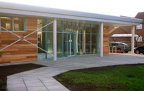
Acomb Explore Library
- 3 August – West Offices
- 9 August – Osbaldwick Sports Centre
- 11 August – Dunnington Reading Room
- 16 August – York Sport
- 18 August – Acomb Explore Library
- 24 August – Tesco Tadcaster Road
- 24 August – Oaken Grove Community Centre, Haxby
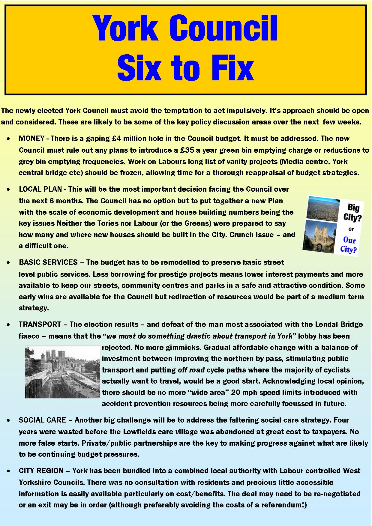
The proposals include several controversial proposals including a plan to overdevelop the Lowfields school site.
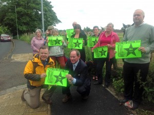
On the other hand the Plan would safeguard land lying between the Westfield ward and the northern by pass from the threat of development

Football gala at Lowfields playing fields. The latest plans threaten to build on this green space.
From next week, every household in York is being sent a copy of a special edition of the council’s newsletter Our City, which provides lots of ways they can feedback during the consultation, including a freepost address.
For further opportunities to feedback, or to find out more information:
Go online: www.york.gov.uk/localplan to complete the survey and to find a full copy of the Local Plan Preferred Sites document
Pop into: any of York’s local libraries/Explore centres or the council’s West Offices to see the proposals throughout the consultation period
Email: localplan@york.gov.uk
Telephone: 01904 552255
Get involved: on Twitter @CityofYork or Facebook @CityofYorkCouncil via the hashtag #YorkLocalPlan
Write to:
Freepost RTEG-TYYU-KLTZ, Local Plan, City of York Council, West Offices, Station Rise, York, YO1 6GA
To find out more about the Local Plan proposals read our news article here

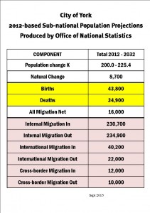
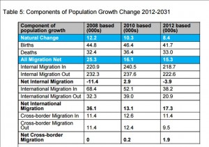
 think again. The report on the latest version of York’s Local Plan makes it clear that any population growth forecasts (including migration numbers) must be in line with government thinking. Councils cannot opt for lower figures – justified by more realistic economic development assumptions – without risking having a Whitehall written plan imposed on them.
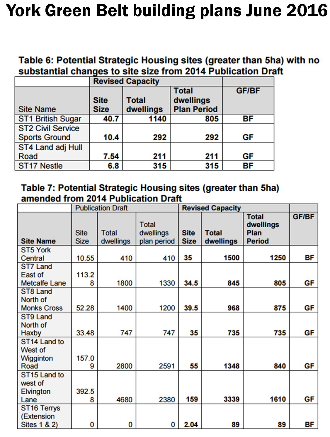
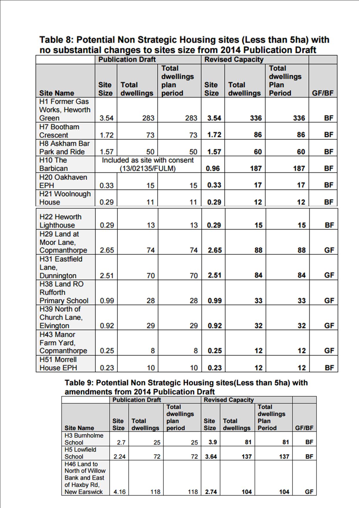
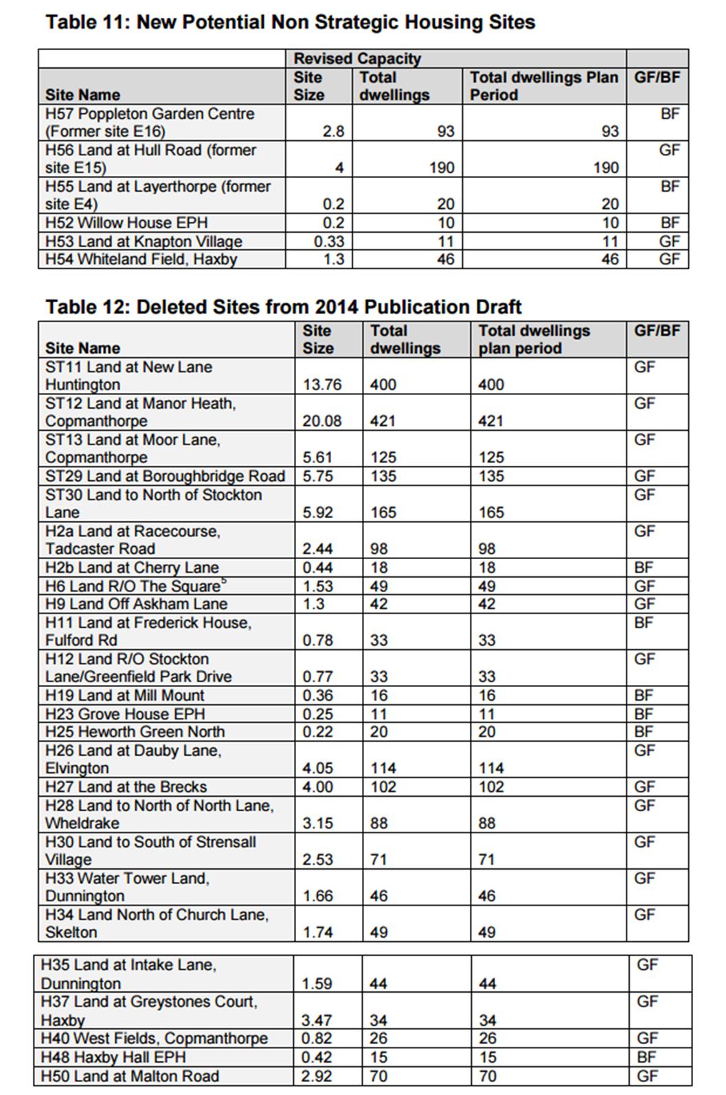
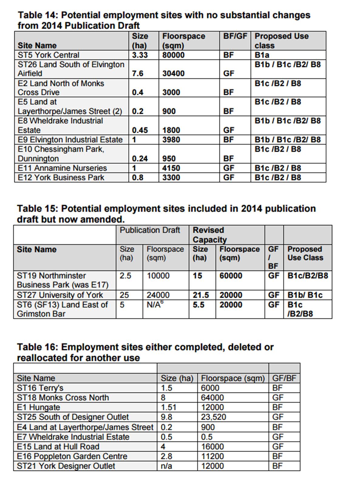
 The latest
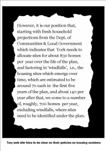
 It will be fifth attempt in recent years to come up with a blueprint for the City which seeks both to conserve the natural and built heritage, while making provision for the additional 10,000 or so homes required over the next 20 years to meet the natural growth in population size (excess of births over deaths).