
What’s on in York: “Pop Up Shop” at Foxwood Community Centre 10:00am to 1200 noon today


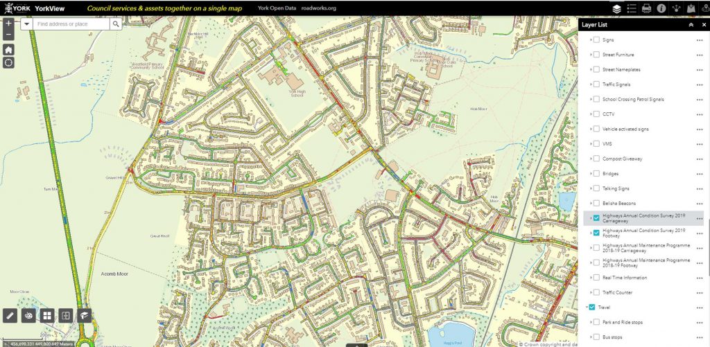
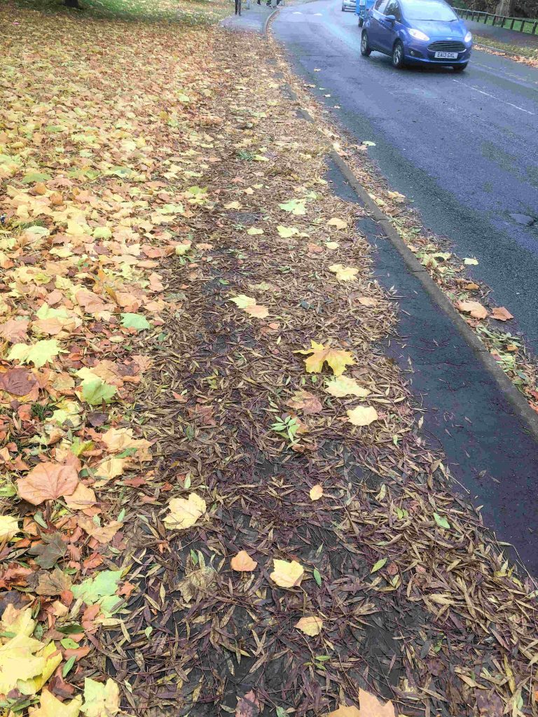
The York Council has added details of the results of its surveys of local carriageway and footpath condition to an on line map.
You can see the rating for every street in York. Red means very poor.
Then click “street care” from the drop down list
Then tick the appropriate boxes e.g “Highways annual condition survey 2019 – Highways” & “Highways annual condition survey 2019 – Footpaths”
You can focus down to street level.
NB. Part of Gale Lane is being resurfaced next week.
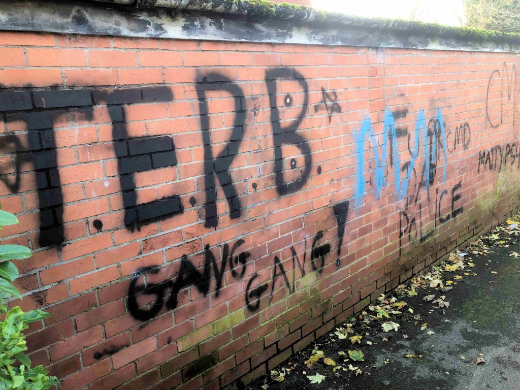
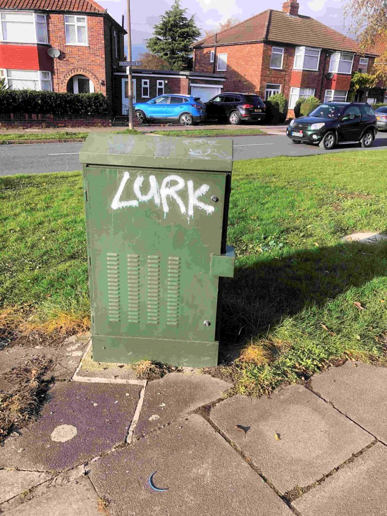
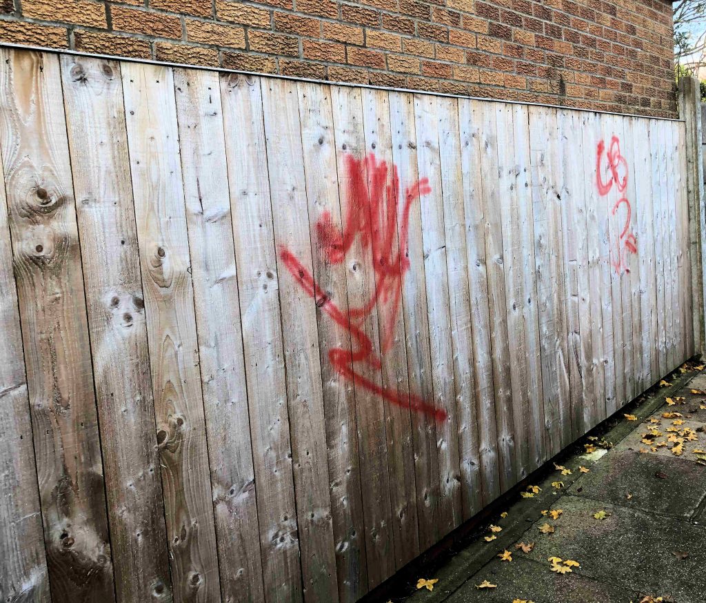
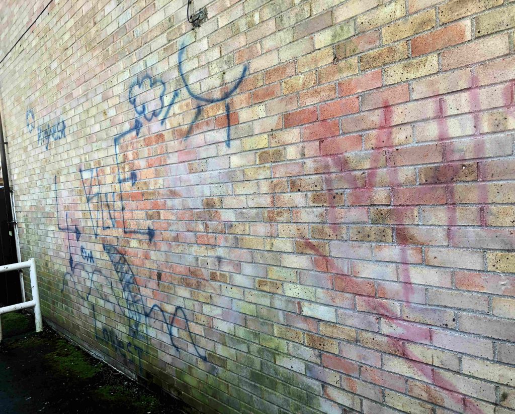
The Council agreed a new policy yesterday which should see graffiti cleaned up more quickly in future. Subject to the owners consent, the Council will now clean domestic boundary walls.
There is a growing backlog of work to be tackled across the City.
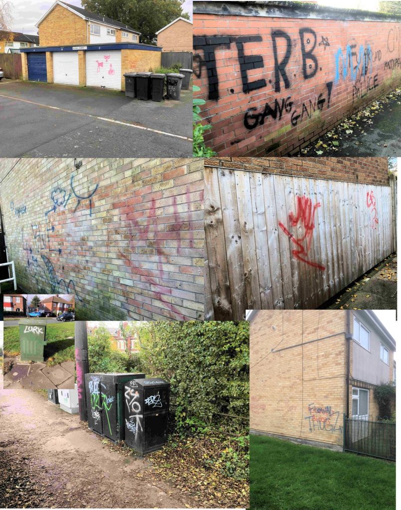
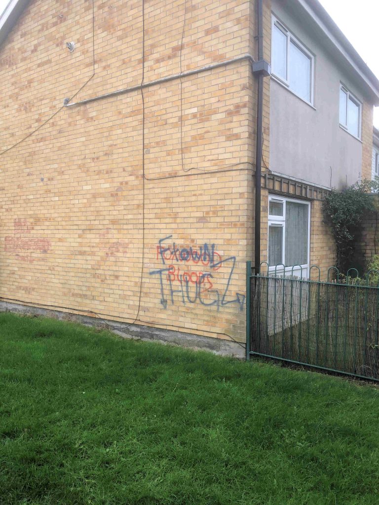
The York Council is set to adopt a new policy on graffiti removal today. It can’t come soon enough with several neighbourhoods reporting an increase in incidents.
We hope that the meeting will decide to make renewed efforts to identify those responsible. As it stands taxpayers could face a bill of £90,000 a year to remove spray point from buildings, boundaries and street furniture.
Nor has the Council been particularly prompt in meeting existing graffiti removal targets. A couple of cases in Foxwood have exceeded the 5 day removal target.
Graffiti incidents can be reported “on line” by clicking this link
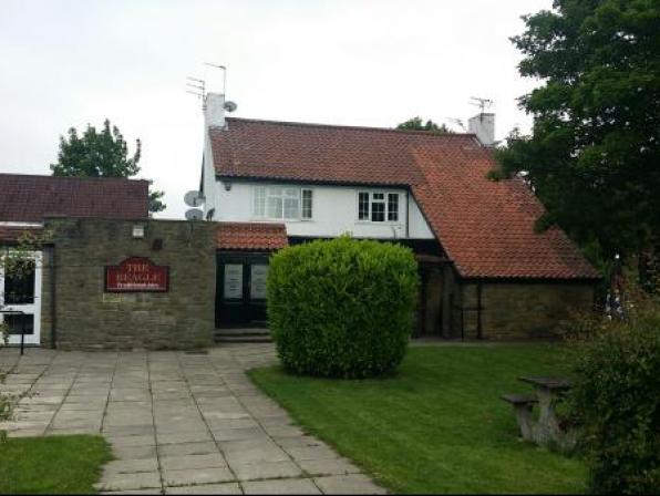
We understand that The Beagle is advertising for a new landlord. The pub has been in use since 1977.
Below are the latest planning applications received by the York Council for the Westfield ward.
Full details can be found by clicking the application reference
—-
Cornlands Road York
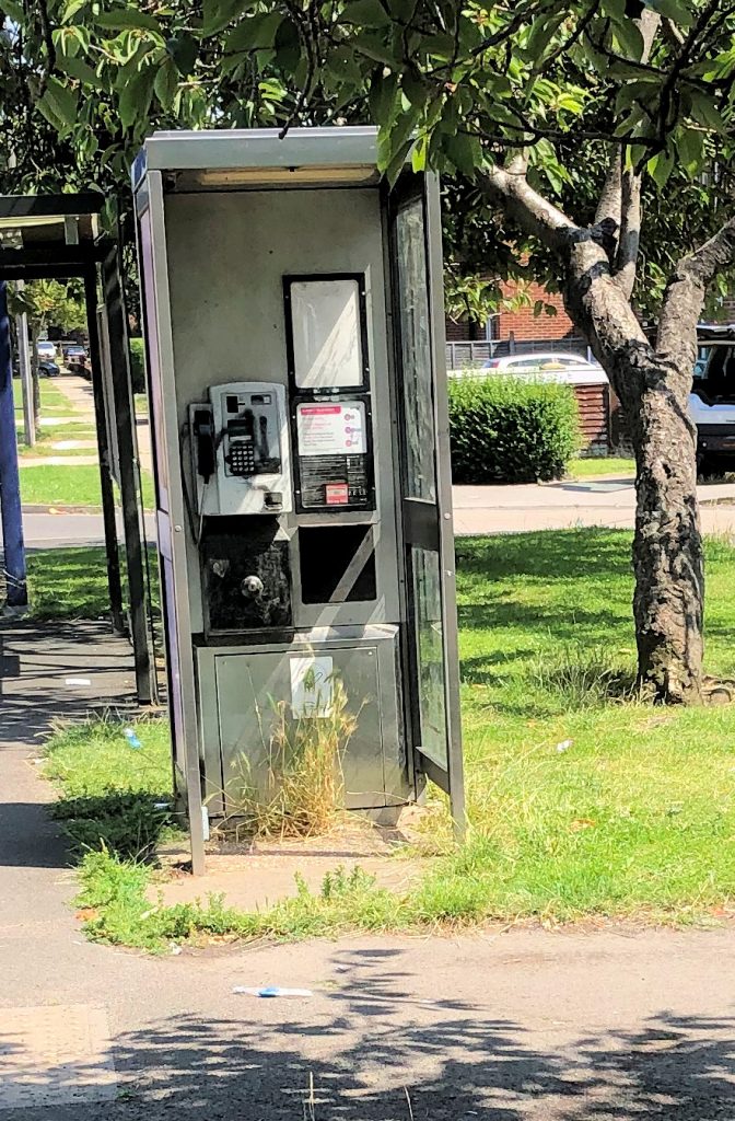
Removal of public payphone (outside the shops on Cornlands Road)
Ref. No: 19/02322/TCNOT
—–
60 Cornlands Road York YO24 3EA
Two storey side extension and single storey front extension with porch.
Ref. No: 19/02257/FUL
——-
Representations can be made in favour of, or in objection to, any application via the Planning on line web site. http://planningaccess.york.gov.uk/online-applications/
NB. The Council now no longer routinely consults neighbours by letter when an application is received
Disappointing to see the York Council failing to get to grips with some straight forward issues. Maybe the lack of a Chief Executive is beginning to have any effect.
The Yokr Council needs to become a “can do” authority again and quickly.
We pointed out yesterday that there had been unnecessary delays in implementing this years Housing Estate Improvement programme.
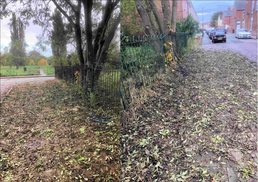
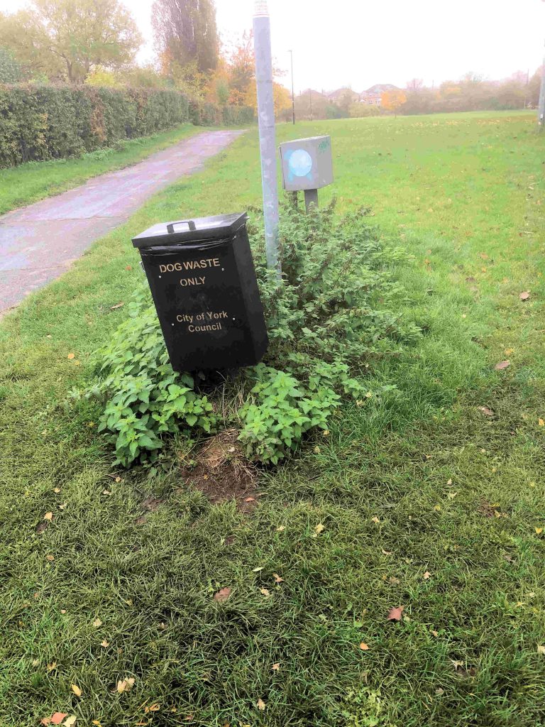
We now find similar delays in addressing problems with graffiti removal, cutting back over grown trees and removing nettles from open spaces.
There has been some smug comments from some politicians fallowing the release of the latest government figures on poverty levels. Known as the index of multiple deprivation, the figures give a clue to which are the most well off neighbourhoods and which the worst.
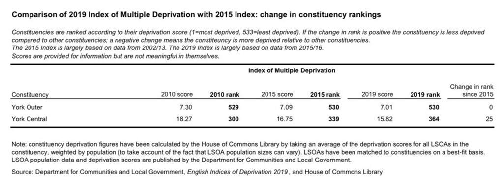
Overall York has fared well over the last couple of years. The York Outer constituency is now ranked 530 out of 533; the same as it was 4 years ago.
York Central has improved its relative position from 339 to 364. (High number is good). This largely reflects the “gentrification” of parts of the City and relatively high employment rates..
However, the overall figures disguise the level of poverty that is concentrated in some parts of the City.
The worst ranked neighbourhood (LSOA E01013443) is the Kingsway West area which includes Windsor Garth.
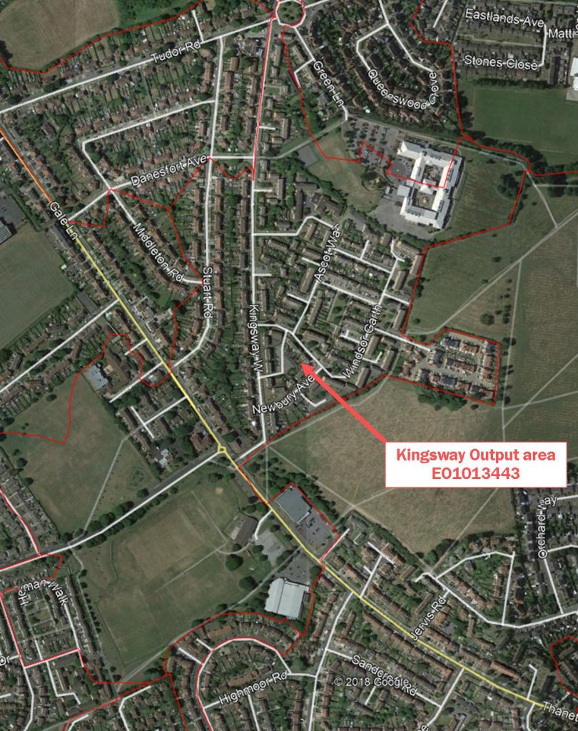
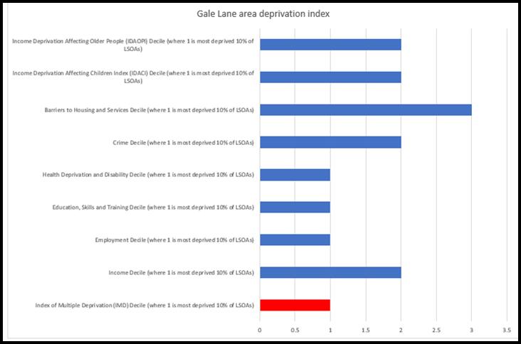
It is the only York neighbourhood to rank in the bottom 20% in the country.
It fares particularly badly on health, employment and income indicators.
This neighbourhood is in the Westfield ward which itself is rated as the most deprived in the City.
The revelation should come as no surprise to the York Council. Campaigners have been pointing out for the last three or four years that the area was not only being neglected but that key services were being run down.
The local multi user games area (MUGA) was recently closed down and a promised replacement has not materialised. Nearby the Lowfield’s playing field is also being built on while a bowling green has also been lost. The residents association folded a few years ago following complaints that its views were ignored by Councillors.
The neighbourhood does have a disproportionately high number of older people. This can drive down average income levels. It is also true to say that residents are mostly philosophical about their neighbourhood which still retains a good sense of community pride
However, it high time that the authorities – both local and national – made an commitment to regenerate public services for Kingsway residents.
