Met Office – Red warning of rain in York area for rest of Saturday. Football and race meetings cancelled

rain umbrella full size getty

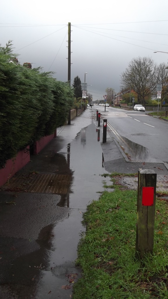
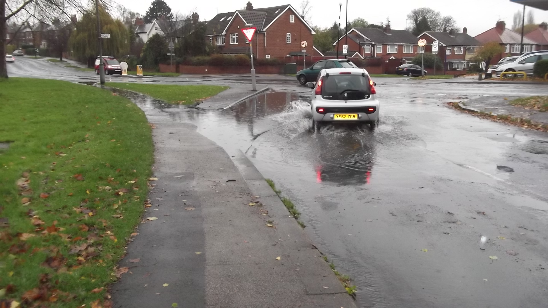
“Heavy and persistent rain will continue to affect western parts of both West and North Yorkshire through the course of Boxing Day. The heaviest rain is expected to occur this morning, before easing for a time this afternoon. A further spell of heavy rain is then likely this evening before a clearance takes place from the northwest.

Please take action to remain safe and protect property: widespread flooding will lead to high levels of disruption to travel, deep, fast-flowing watercourses and an associated possible danger to life.

A band of rain has become slow-moving across the region. 30 to 60 mm of rain has already fallen widely, with a further 30 to 50 mm expected in some places. Some upland areas may see around 120 mm over the entire event, including the rain that has already fallen. This is expected to lead to widespread river flooding, whilst the shorter-period accumulations will result in high impacts from surface water flooding”. Met Office

STOP PRESS
  • Wetherby race meeting cancelled
  • York City v Northampton postponed


Wet feet? Here’s who to blame!

River levels in York are set to peak later tonight. They are not expected to reach 2012 levels, but some riverside properties are at risk.
The St Georges Field car park remains closed.
Flood level 1700 16th Nov 2015

Click to access Environment Agency web site

In a strange coincidence, the York Council has today added the minutes of  a large number of drainage Board meetings to its public “on line” library.

Buses
Safer York

Flooding risks in York

10th Nov 2015

10th Nov 2015

It’s that time of year again and a flood warning has been issued by the Environment Agency.
River levels are not expected to increase to those seen in 2012.
Detailed river levels can be found on the EA web site http://tinyurl.com/Ouse-catchment
The best indicator remains the real time CCTV camera which records river levels on Kings Staith (above).
There is a significant risk if the top of the “no entry” sign disappears under water!
You can register to receive flooding alerts by clicking here (phone text or Email)


Looks like Tadcaster Road will be busy at teatime!

St Helen's Road 1400 hours 13th May 2015

St Helen’s Road 1400 hours 13th May 2015

It looks like Tadcaster Road will be very congested at teatime.

St Helen’s Road is still closed although now relatively free of surface water following the burst main earlier today. Workers are still digging their way down to the source of the problem. There is access for pedestrians and cyclists (who will need to dismount next to the roadworks)

It is race day so several hundred vehicles will be leaving the Knavesmire at tea time.

Those who can are advised to avoid driving down Tadcaster Road.

The number 4 bus route diversion remains in place.

Flood warning for York

A flood warning has been issued by the Environment Agency. River levels are not expected to increase to those encountered in 2012.

Click for access (commercial web site with advert)

Click for access (commercial web site with advert)

River Ouse web cam Click to access latest information

The best indicator remains the real time CCTV camera which records river levels on Kings Staith.

Click to access Environment Agency monitoring station data (central York)

Click to access Environment Agency monitoring station data (central York)

There is a significant risk If the top of the no entry sign disappears under water!

Detailed river levels can be found on the EA web site http://tinyurl.com/Ouse-catchment

 You can register here to receive flood warnings by phone, text or email.