Met Office – Red warning of rain in York area for rest of Saturday. Football and race meetings cancelled

rain umbrella full size getty

“Heavy and persistent rain will continue to affect western parts of both West and North Yorkshire through the course of Boxing Day. The heaviest rain is expected to occur this morning, before easing for a time this afternoon. A further spell of heavy rain is then likely this evening before a clearance takes place from the northwest.

Please take action to remain safe and protect property: widespread flooding will lead to high levels of disruption to travel, deep, fast-flowing watercourses and an associated possible danger to life.

A band of rain has become slow-moving across the region. 30 to 60 mm of rain has already fallen widely, with a further 30 to 50 mm expected in some places. Some upland areas may see around 120 mm over the entire event, including the rain that has already fallen. This is expected to lead to widespread river flooding, whilst the shorter-period accumulations will result in high impacts from surface water flooding”. Met Office

STOP PRESS
  • Wetherby race meeting cancelled
  • York City v Northampton postponed


Flooding possible in Clifton Green area

A flood warning has been issued for the Clifton part of York.

Flood alert Clifton 0900 26th Dec 2015

A flood warning has been issued for the River Ouse at York, Clifton. The previously issued warnings for the Riverside properties and St Georges Field remain in force. The Clifton flood warning has been issued due to rising levels on Burdyke. The pumping station at Burdyke is running to full capacity, however, due to the volume of water in the beck the level has risen to 3.9m and is unable to discharge into the River Ouse due to high levels. The current river level at the Viking recorder in York is 3.5m or 11 feet 6 inches. Levels are rising in response to the recent rainfall in the upper catchments. Levels may rise further during Saturday as further rain is forecast. Our staff are monitoring the situation closely and we will update this message as further information becomes available. Please ensure that you keep up to date with the current situation for your area, further information is available on www.gov.uk/flood.

See also

Flood alerts http://floodalerts.com/?id=94542

Ouse river level camera (real time): http://www.farsondigitalwatercams.com/locations/york#

Viking Ouse river level  gauge (Twitter) https://twitter.com/riverlevel_1900

Weather real time http://www.wunderground.com/wundermap

Traffic http://www.trafficengland.com/ or http://roadworks.org/


Drainage issues reported to York Council

Local Councillor Andrew Waller audited the effectiveness of drainage systems over the weekend.

The wet weather has revealed several problems all of which have been reported to the Council.

Poor drainage on Askham Lane near bus stop

Poor drainage on Askham Lane near bus stop

Blocked gulley at entrance to Gladstone Street

Blocked gulley at entrance to Gladstone Street

Blocked gully near Green Lane roundabout

Blocked gully near Green Lane roundabout

Broken drain cover St Stephens Square

Broken drain cover St Stephens Square

Cornlands Road near bus stops

Cornlands Road near bus stops

Windsor Garth

Windsor Garth

Poor drainage and damaged gully Danesfort Avenue

Poor drainage and damaged gully Danesfort Avenue

Windsor Garth flooding

Windsor Garth flooding

In total Andrew has reported over a dozen locations in the Westfield area where ponding or flooding is a problem
Residents can report issues with drainage, as well as other problems such as faulty street lights, at https://www.fixmystreet.com/

Flooding in York – update

Provisions in place to protect the city from flooding

Pumping 7th Dec 2015Provisions are in place and York is open for business – is the message following a multi-agency York Flood Group meeting which took place this morning.

The group is reassuring residents and businesses that provisions are in place should river levels rise. The group comprises of representatives from City of York Council, the Environment Agency, North Yorkshire Police, North Yorkshire Fire & Rescue, Yorkshire Water, Northern Powergrid and the Army.

The group only meets when the River Ouse levels reach 4.2 meters above normal summer level (asl).

River levels are currently at 4.25 meters asl and are expected to peak at 4.3m asl today and will remain at these high levels throughout the week.

As a result of the high river levels Rowntree Park, St George’s Field Car Park and Millenium Bridge are all closed.
City of York Council has erected sandbag defences at Peckitt Street, Tower Gardens and Tower Place. The access bridge to City Mills Residential Home has also been erected.

Front line teams are on standby from all organisations to work round the clock if required to protect residents, tourists and keep York open for business.

The Environment Agency is monitoring the situation. The Environment Agency Floodline number is 0345 988 1188 or visit http://apps.environment-agency.gov.uk/flood/31618.aspx

Flooding in York – latest from the Environment Agency

Flood Warnings have been issued for the River Ouse at York for Skeldergate and Peckitt Street, St Georges Field, and Riverside Properties.

The current river level at the York Viking Recorder is 4.26m or 13 feet 12 inches and slowly rising. Levels are expected to peak between 4.3m or 14 feet and 1 inch, and 4.4m or 14 feet 5 inches during Monday.

We will see showery rain on Monday and we are expecting further rain overnight into Tuesday.

Our Incident Response teams are on 24 hour duty.

We will continue to monitor the situation and update this forecast as new information becomes available.

Situation last changed 7:45am Monday 07 December 2015

Ouse 0932 7th Dec 2015

Skeldergate, Poppleton,. Clifton Green, Leeman Road flooding. Bus diversions affecting 3, 4 and 59

Location: Skeldergate/Clifford Street and Nether Poppleton
Cause: Flooding
Responsibility:
Dates: 7 Dec 2015
Skeldergate Flooding

From Blossom Street buses will divert via Nunnery Lane, Prices Lane, Bishopgate Street, Tower Street then as normal route.

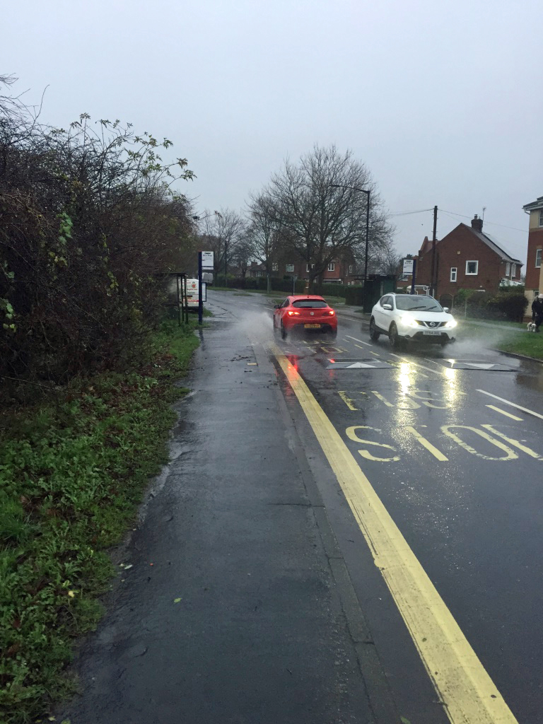
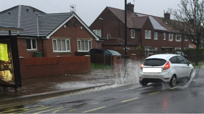
Skeldergate and Clifford Street Flooding

Buses will follow normal route to Railway Station, where they will terminate, returning by turning at Station Road.

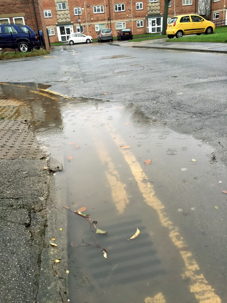
Nether Poppleton Flooding

Buses will divert in Poppleton as follows;

From Millfield Lane  left on to Ebor Way, right onto Alllerton Drive, Riversvale Drive, left on to Main Street, then as normal route. Wait time at Upper Poppleton Green.

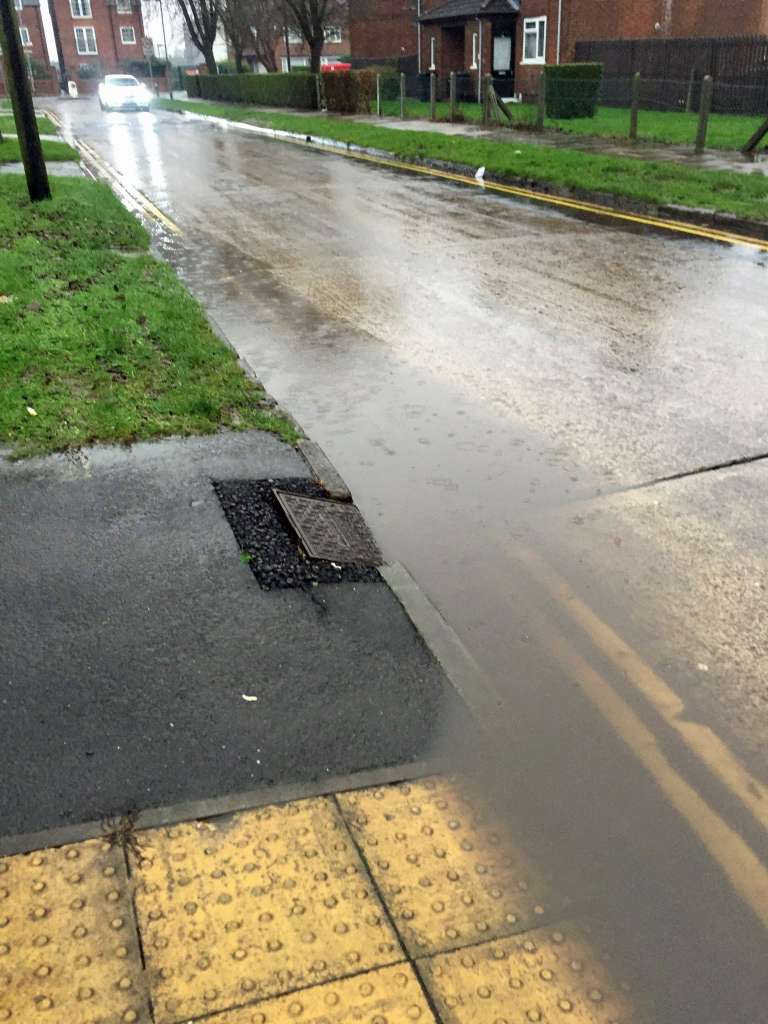
Clifton Green/Leeman Road Flooding

From Poppleton, buses will divert from Boroughbridge Road via Poppleton Road, Holgate Road, Blossom Street, Queen Street, Station Road, then as normal route.

To Poppleton, buses will divert from Rougier Street via Station Road, Railway Station, Queen Street, Blossom Street, Holgate Road, Poppleton Road, then as normal route.

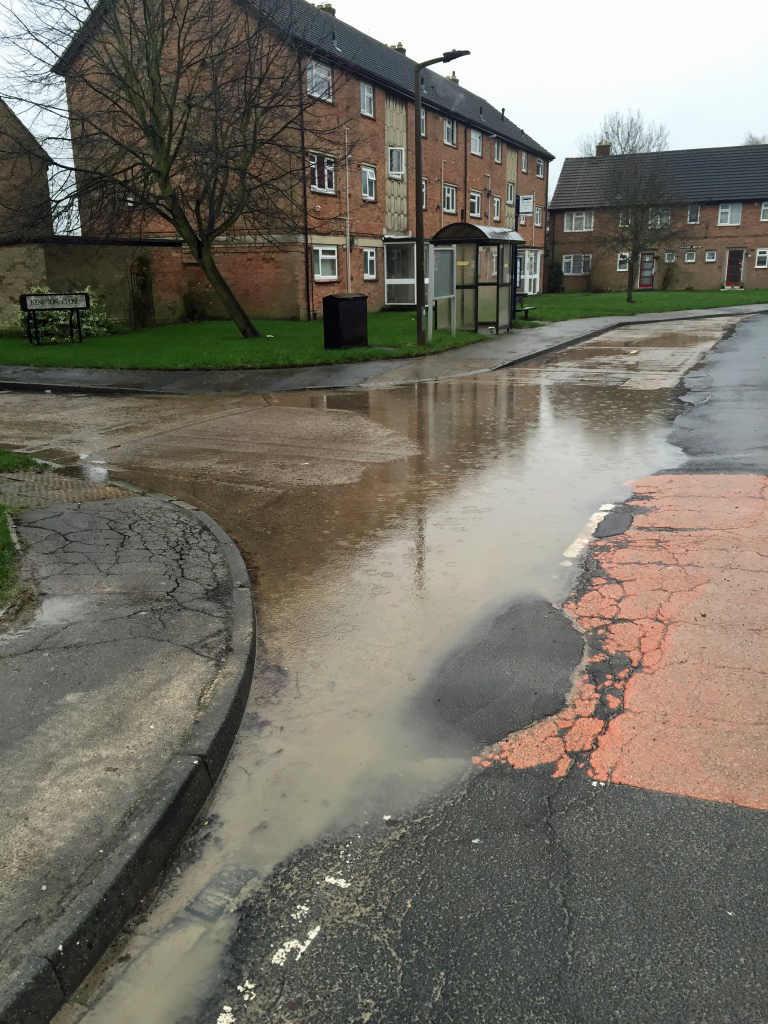
Stamford Bridge Flooding

Buses will divert from Dunnington as follows; From Greyhound crossroads, left on to Common Road, left on to A1079, leftonto Long Lane, bear right Lofthouse Lane, follow road round, High Catton Road, to Stamford Bridge Terminus.

Returning; via Roman Avenue loop, left High Catton Road, Lofthouse Lane, Long Lane, right on to A1079, right on to Common Road, left at Greyhound crossroads, then as normal route.

More at http://manage.firstgroup.com/york/news-and-service-updates/current-issues/buses-3-4-and-59

Latest York Flood alert from the Environment Agency

The Environment Agency has issued an update saying that flood levels could reach 4.5 metres by Monday afternoon.

They are not expected to reach 2012 levels.

The flood warnings for the River Ouse at York riverside properties and St George’s Field remain in force due to rising levels on the Ouse in response to rain in the upper catchments. The current river level at the York Viking Recorder is 3.62m or 11 feet 11 inches. We are expecting the River Ouse to rise during Sunday. Currently we expect the peak to be during Monday afternoon and evening at around 4.2m to 4.5m or 13 feet 9 inches to 14 feet 9 inches. Our Incident Response teams are on 24 hour duty. We will continue to monitor the situation and update this forecast as new information becomes available. 

Situation last changed 10:03am Sunday 06 December 2015

Follow the environment Agency on Twitter https://twitter.com/EnvAgencyYNE

Live York river level gauge here https://twitter.com/riverlevel_1900

click to access live cam

click to access live cam

Serious flooding can be expected if the top of the no entry sign disappears underwater.