York city centre bus stops set to reopen on Monday

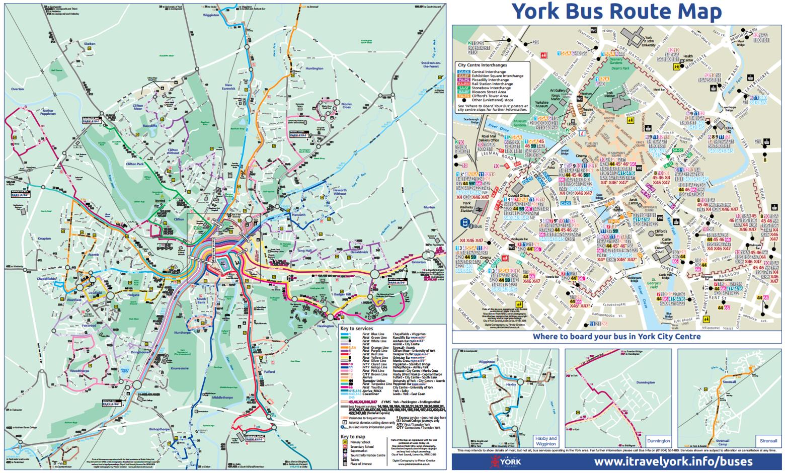
On Monday, 5 March, bus services will return to their normal bus stops at Stonebow following relocation during the refurbishment of Stonebow House.

The temporary stops outside Marks and Spencer, and further down Stonebow will close.

The stops will reopen with wider pavements and better lighting, significantly improving the environment for passengers. Seating will also be improved later in the year.

At the same time, three bus stops at Rougier Street, for buses heading in the direction of York Station, will close to allow a new bus shelter to be to be put in place following the refurbishment of Roman House.

The Rougier Street stops will reopen towards the end of April after the new shelter has been completed.  The new shelter will be a substantial improvement with better lighting, improved seating and in-shelter CCTV.

All stops in the city centre have also been fitted with real time information displays, and all stops have received new, easy to read, timetables.

NB. The number 4 bus service returned to its original route past the railway station yesterday.

For more information about traveling in and around York visit www.itravelyork.info

Residents invited to give their views on buses

BusWant to help shape York’s bus services?

City of York Council is offering bus users the opportunity to give their views on local services at a ‘bus surgery’ event next week.

The ‘bus surgery’ will take place at Explore York Library and Learning Centre on Wednesday 9 December, from 12- 2pm and will give bus users the  chance to speak with representatives from bus providers including First York, Arriva and Transdev.

(more…)

Breakthrough in journey planning in York

click to access Google Maps

click to access Google Maps

Google have added a comprehensive bus timetable to their “Google Maps” web and app sites.

The facility allows users to compare the time it would take to use different forms of transport and the length of the journey.

The site gives access to bus timetables and routes across the whole country.

The site already provides details of local cycle tracks and can provide a recommended optimum walking route as an alternative.

Its advantage over previous systems, is that it allows for integrated journey planning across the whole country.

It is also available on some mobiles.

More here