click to enlarge
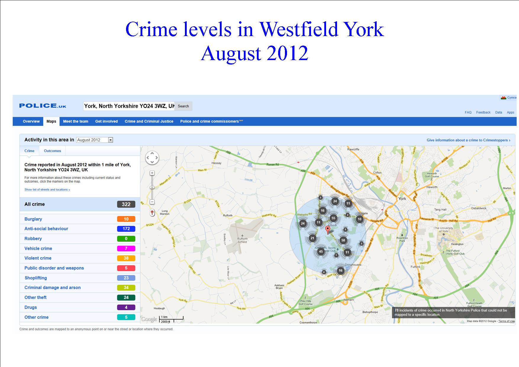
The government has launched a new web based system which allows residents to track the number of crimes committed in their street and neighbourhood.
The site allows residents who input a postcode to see at street level how many incidents had been reported.
The site can be accessed by clicking here police.uk
The site tells us something about the crime trends in the Foxwood/Westfield area. Taking an area within 1 mile of York High school as an example
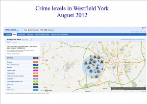
In August (the most recent stats available) 322 incidents were reported. Of these the vast majority were anti social behaviour (172 incidents) followed by violent crime (38) criminal damage (34) and “other theft” (24). Barkston Road, Chesney’s field and St Stephens Square were problem areas.
In July the equivalent figures had been 292 total incidents of which 156 were complaints about anti social behaviour, 36 about violent crime and 31 about criminal damage. Cornlands Road was the most frequently reported location.
The site also tells us what the outcome was of the police intervention.
In August, 37 suspects were charged with offences. In 4 cases offenders had been sent to prison.
All in all, this is a welcome initiative and one that will improve transparency for residents. It has been welcomed by North Yorkshire Police http://t.co/928vdo4I
It is an approach which contrasts sharply with the attitude of the City of York Council which point blank refuses to provide taxpayers with information which they may find useful (such as bus service reliability data) but which may cast the local authority in a poor light.