The trees are coming

The scale of the York Council’s afforestation plans are becoming clearer.

A meeting taking place next week will hear that increasing York’s tree cover from the current 10.76% of the total area to 13% (national average) by 2050 would require 608 ha of new cover, or 21 ha per year.

York currently has 2,926 ha of tree canopy cover, representing 10.8%
of its total area. 60% of this canopy cover is made up of trees outside
woodlands.

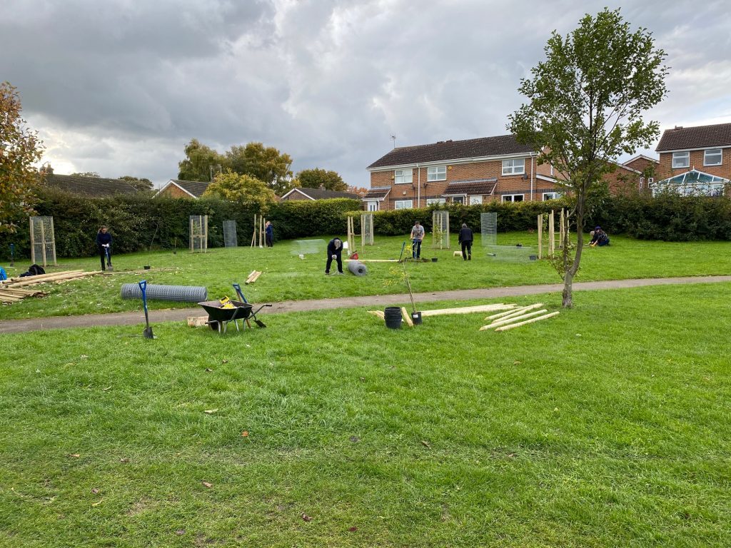
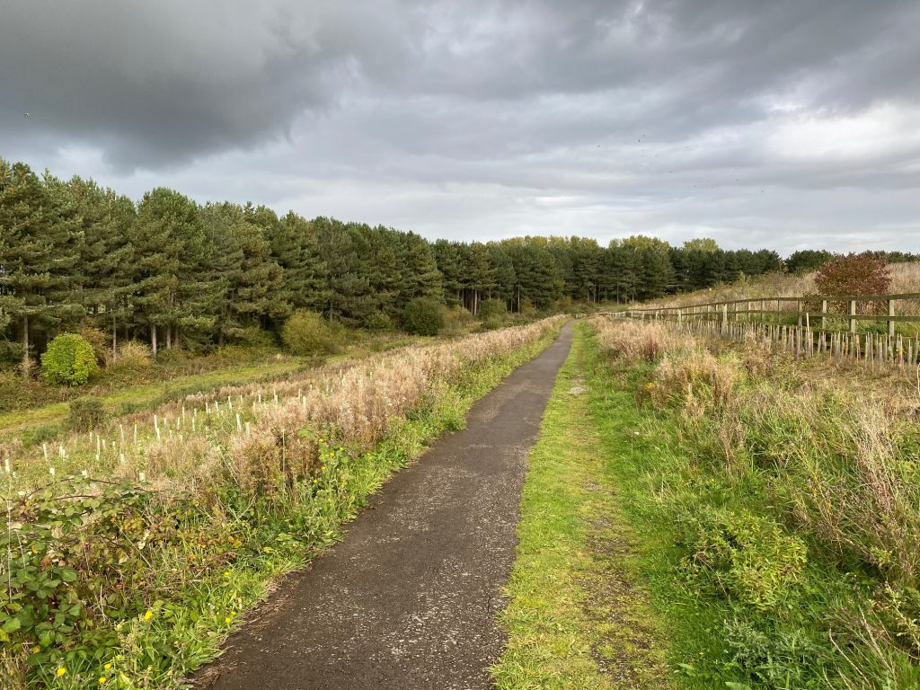
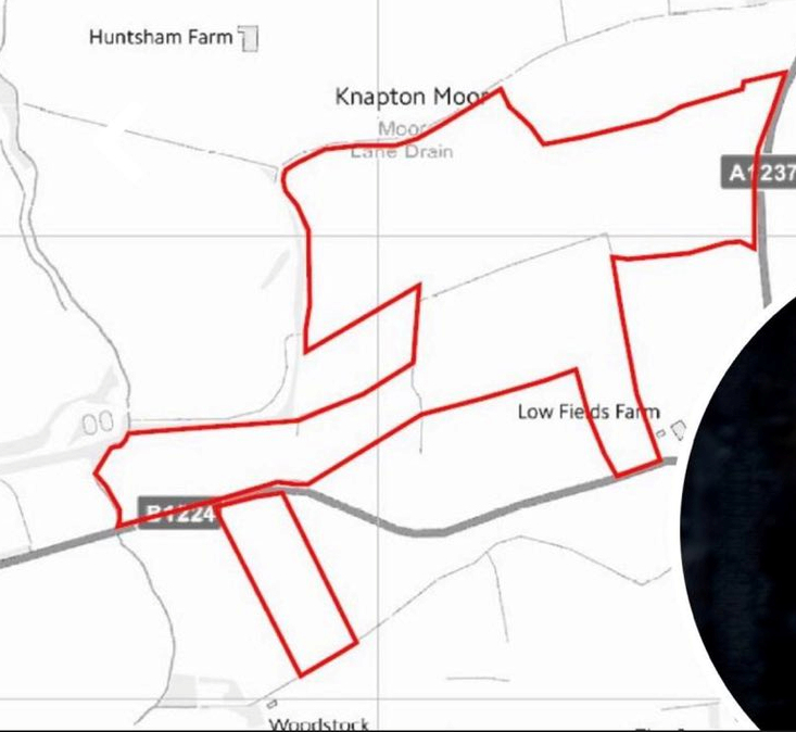
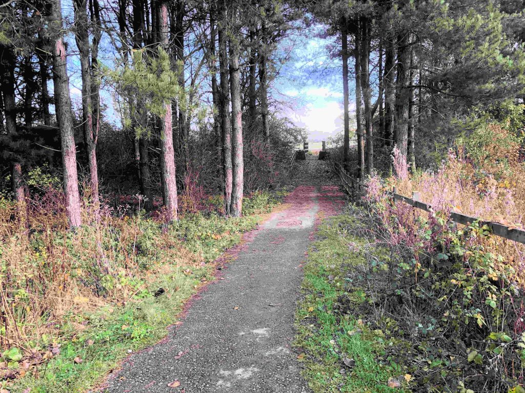
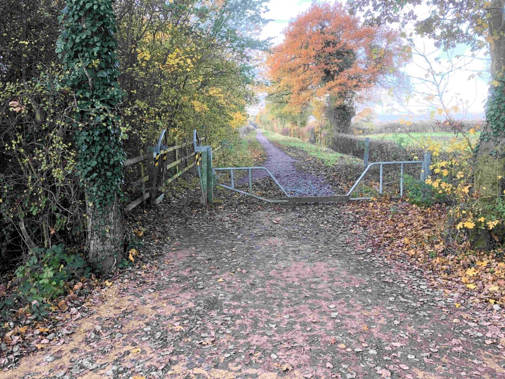
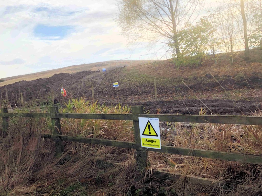
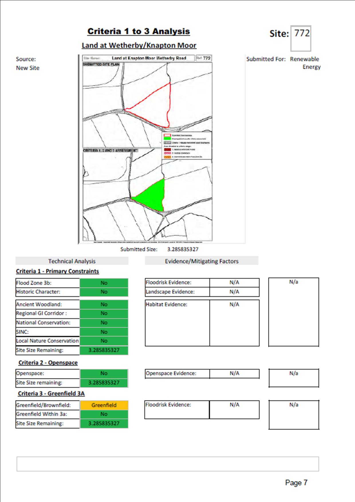
The report says, “the rate of viable delivery imposes a significant constraint on new canopy cover. The York Community Woodland project (Knapton Forest) in West York aims to deliver 50-60 ha of new tree cover over the next two years.

A 13% target for 2050 would require a similar level of growth every two years“.

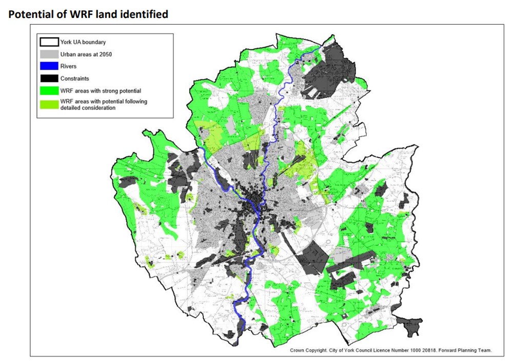
City of York Council is a member of the White Rose Forest (WRF)
partnership which aims to provide tree canopy across large parts of Yorkshire.

The WRF project assumes an ambition for a 13% target for tree canopy cover by 2050, equating to around 22-27 ha per annum. This target would result in “an annual carbon sequestration rate at 2050 of circa 9,000tCO2 per year; equivalent to around 1% of the regions total CO2 emissions between 2020-2050“.

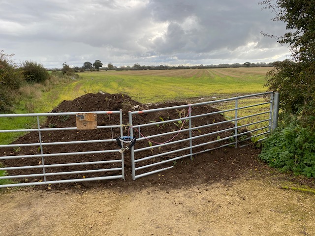
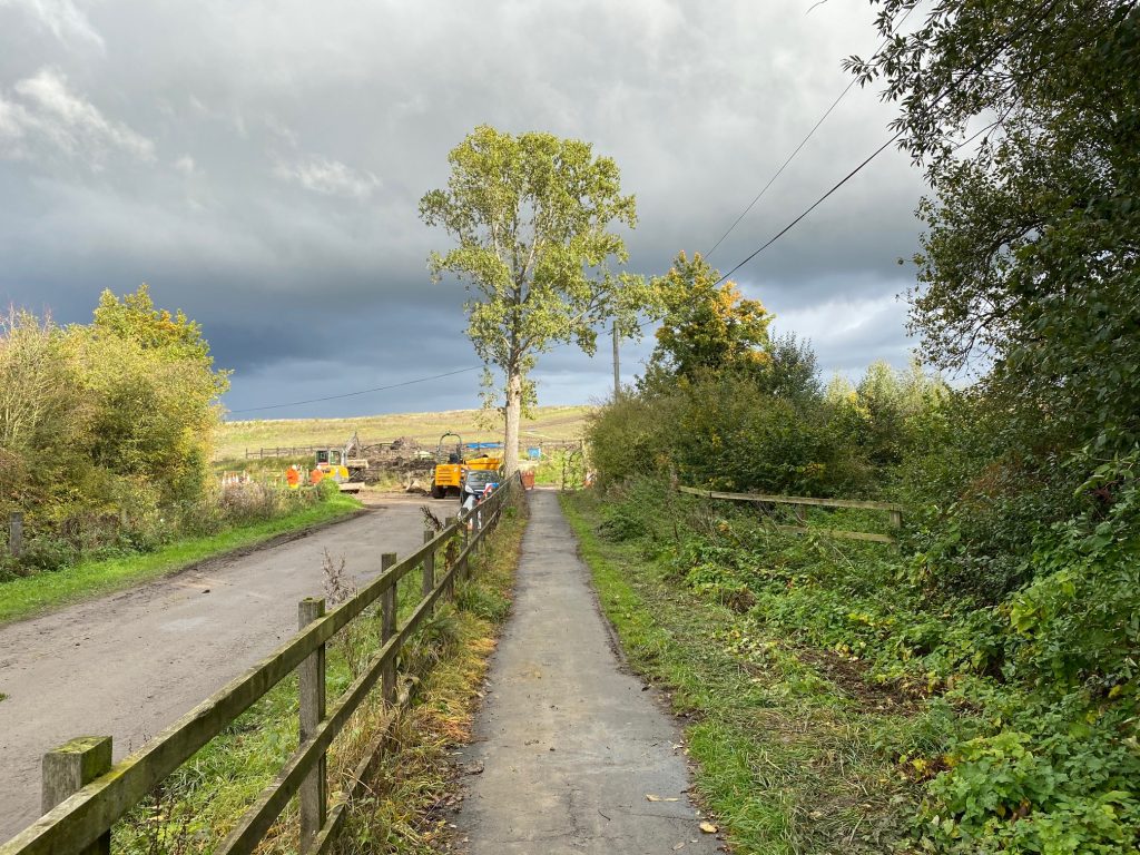
As with the Knapton Forest project, there has been no public consultation on the plan. The costs are unknown although, based on the Knapton land values, they could mean a taxpayers bill for several hundred million pounds.

The report doesn’t assess the scope for increasing tree canopy cover on existing amenity areas or private gardens.

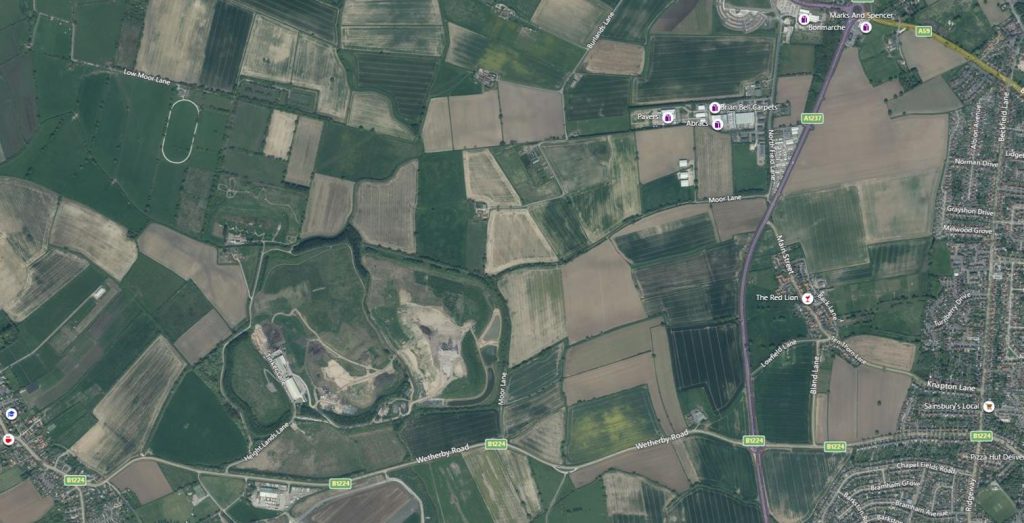
The effect on food production is also unclear. The areas selected for afforestation are mainly grade 2 agricultural land.

They cover large areas near Poppleton, Skelton and Elvington.

click for detail

Good news for squirrels

19 trees were planted in Dickson Park this week by a team of volunteers from the Foxwood Residents Association and AVIVA. The trees were supplied by DEFRA. The project was so popular with neighbours and passers by that several offers of sponsorship were received.

We are now led to understand that the York Council’s new “forest” will be planted on land boarded by Wetherby Road, Knapton, the cycle path and Harewood Whin. The precise boundaries have not yet been revealed.

New “forest” in west York

There are some mixed feelings about the plan which, unless government funding can be obtained, could cost local taxpayers over £1 million.

The site is currently in agricultural use and self sufficiency in food production could become more important over the next few years. No economic or environment analysis of options has been published

The land is currently planted ready for a spring harvest

While there is a precedent for the Council managing local farms (they did so in the last century in an attempt to sustain a supply of land for new tenant farmers) the scale of the forest venture is new.

It has the advantage of potentially helping to reduce pollution levels.

One advantage of the location (if the speculation in the media is correct) is that it is close to the popular Rufforth – Knapton cycle track.

NB. The Council, while saying it has obtained 10 acres of land for tree planting “on the inner ring road”, has still not confirmed where this is located.

UPDATE. According to Cllr Nigel Ayre posting on twitter this is a map of the site. If correct, then part of it straddles Wetherby Road

That was the week that was in west York in pictures

Several suburban shopping streets need a tidy up. We asked for bins at Foxwood to be emptied but the Council now needs to provide more support for businesses that “soldiered on” during lock-down providing lifeline services for some.
Still too much graffiti on utility boxes in the area. Two more reported in the Dijon Avenue area this week
Rain and wind have brought detritus down blocking some drainage channels. We’ve asked for those in Kingsthorpe to be swept.
The footpath at the high numbered end of Tudor Road has been levelled. It had been damaged by tree roots. We expect that the problem will reoccur
However the nearby footpath on Tudor Road is still blocked by overrunning Yorkshire Water works

A major problem across the whole of the City are rapidly growing weeds. The Councils contractors have been seen out spraying but they will have been hampered by wet weather.

As a result many back lanes, footpaths, snickets and cycle paths are now obstructed.

This can be a hazard particularly for the partially sighted.

Hopefully residents, who see an issue near their home or business, will deal with it themselves.

Weed growth and other issues can be reported 24/7 via the Council web site ” click “Report it”

Most often knocked over traffic bollard? Fastest growing thistles?

Is this the most frequently damaged mini roundabout keep left sign. Located at the junction of Askham Lane and Ridgeway, no sooner is it repaired and another large vehicle – or careless driver- knocks it over again. York Council needs to come up with a better solution.
Thistles are now partly blocking the cycle path at Knapton. Not sure whether this is on the York Council weed killing programme? It should be. It would be a shame to lose this, increasingly well used, cycle link to Rufforth for lack of maintenance.
It would be a shame if the York Council was to be allowed to continue to neglect the Front Street area. More must be invested in improving maintenance standards. However, there are now new opportunities for regeneration. The Councils decision to (effectively) evict disabled drivers (blue badge holders) from the City centre could prompt the reopening of Front Street, for this category of motorists, on at least a couple of days each week. They would then be free to park nearer the shops (disabled parking spaces are currently limited). Cyclists would also benefit. “Social distancing” is made easier because of the shop forecourts. Add in some music/entertainment, street stalls and a high profile marketing campaign and the area could soon be buzzing again. .

Cycle link under northern by pass open UPDATED

We’ve cycled the whole length of the cycle track now. Certainly a lot safer than using the B1224. Around 3 miles in length.

It narrows on the section near Harewood Whin where it is an unmodified footpath. There is room to pass.

Only one secured gate on the route (near the A1237 junction). Rest are easy to navigate.

Ironically the roughest surface is on Milestone Avenue in Rufforth. This forms the public highway access to the cycle path. Small cafe in Rufforth provides refreshments.

Pleasant ride in summer although the nearby clay pigeon shooting range is at little noisy!

Milestone Avenue in Rufforth. Carriageway needs resurfacing

The promised new cycle link from York (Knapton) to Rufforth has been completed. The last section involved the modification of an underpass crossing the A1237 to allow for safe access for pedestrians and cyclists.

Previously the tunnel had been used mainly by cattle.

Signage has yet to be installed on the route although it is already being used extensively by pedestrians.

Entrance to cycle path from Knapton
Link from Knapton
A1237 underpass
Link to Ruforth
Location map. Entrance from Knapton (New House Road)

Rufforth off road cycle track opens

Link to A1237 incorporates bridleway friendly gates.

Gate design allows horses to step through without opening gate.

The long awaited off road cycle track link from Rufforth to the northern by pass has opened. The route finishes opposite the entrance to Main Street Knapton.

The path offers a relatively quiet link for pedestrians, cyclists and horse riders.

The route was not entirely uncontroversial with some fearing that it might be misused by motorcyclists.

There was also a concern that cyclists would find it hazardous to cross the busy A1237 although this would have been an issue at other possible locations.

NB. One parent, on reaching the cycle path this afternoon, explained to his young son that the dip in the middle of the gate was to allow access for large animals. His son replied, “Large animals? Like horses, elephants and dinosaurs?” An unexpected new hazard for residents of Knapton perhaps!

Weather warning – Wetherby Road resurfacing re-scheduled!

It looks like the resurfacing (dressing) of Wetherby Road between Ridgeway and Bland Lane has been re-scheduled for 20th June. It was due to be done this week but was postponed following a period of heavy drizzle!
Access to properties only sign at A1237 junction
Access only sign on Knapton Lane

It appears that the signs intended to discourage short cutting through Knapton have remained in place. This is somewhat confusing for motorists.

Meanwhile we’ve reported that the anti slip surface on the approach to the pedestrian crossing on Cornlands Road has disintegrated. The surface is now hazardous for cyclists.

With the rain, come the weeds

Wetter weather will accelerate plant growth in the City. That means bigger weeds.

Usually by now the York Council has revealed its weed killing programme. Seems we have to go on waiting this year.

Name signs are already obscured
Sign posts need cleaning
Hazardous broken chain link fencing on Chapelfields snicket still not repaired
Verges still not cut

Solar farm planned for Knapton Moor

Solar Farm site click to enlarge

Solar Farm site click to enlarge

1.8 hectares of land off Wetherby Road (Site 772) could be turned into a solar farm. The area of land is located near to Harewood Whin.

The Council report indicates what criteria have to be met by these farms which generate electricity from solar panels (similar in principle to those now found on many household roofs).

They are not as controversial as wind farms, being silent and relatively unobtrusive. Security at the sites is high though.

Similar sites are planned for Malton Road and Towthorpe