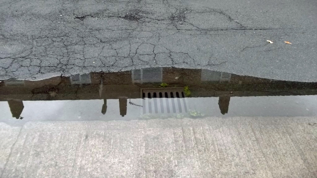
Windsor Garth
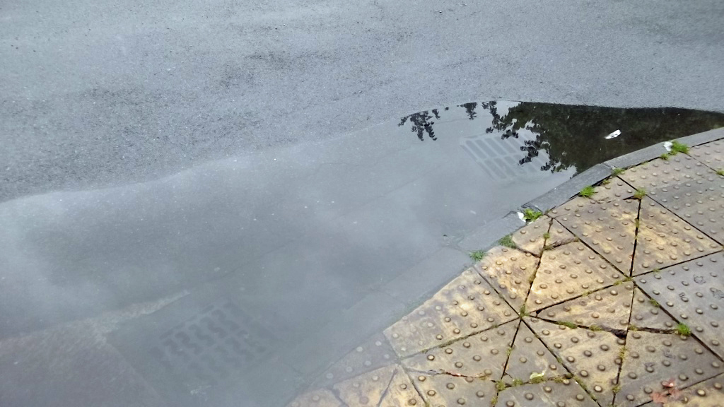
Walton Place


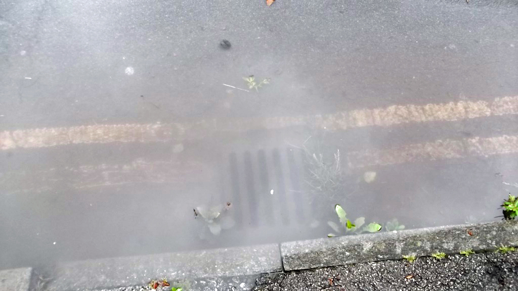
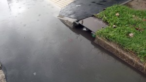
Kingsway West

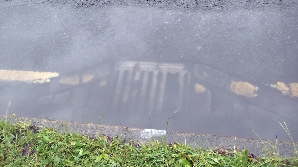
Gale Lane
Danesfort Avenue
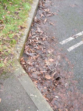
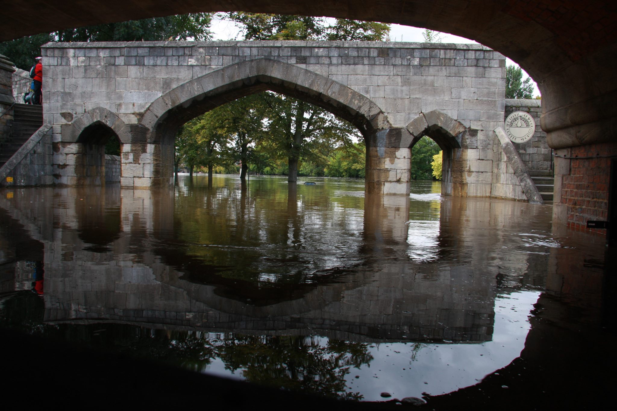
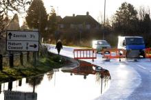
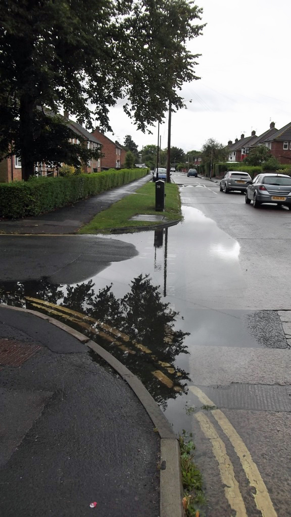
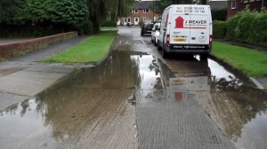
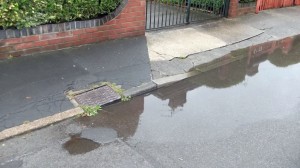
Following a couple of weeks of heavy rain problems with the City’s drainage systems have become more obvious. While most publicity has centred on roadside gullies, the lack of regular cleaning of channels in pedestrian areas, on footpaths and in car parks is also a concern.
As we reported earlier this month, the Council has discontinued the routine “emptying” of gullies. They rely on residents to report blockages. In turn, this depends on the Councils – sometimes creaking – customer contact systems.
As the photos show, even after the rains stops, it takes too long for some areas to drain.
The Council has in the past taken some action to alleviate longer term problems. The then LibDem led Council introduced almost a decade ago a programme aimed at dealing with blocked drainage pipes.
In some cases this meant digging out compacted earth while in others concrete run off had blocked some drains. Some roads had to be re-profiled to provide a better run off. Yorkshire Water – who are responsible for sewers – occasionally have to power wash out their systems, with carelessly discarded cooking fat often blamed for blockages
There has been a move away from non permeable surfaces with new parking areas on many estates now using a matrix style surface to allow natural soak away.
There have been no reports on the quality of drainage systems made to Council committees recently. Quality of service data is hard to come by.
A Freedom of information request has now been submitted to the Council asking about the number of outstanding drainage complaints and the number of known long term blocked gulleys where significant engineering work is required to remedy the problem.
The Council is being asked how much it will cost to clear blocked gulleys and the timetable for so doing.
The Council has 28 days in which to respond to the information request.